


Antique map of Bresse by H. Hondius - ca. 1630
Antique map of Bresse by H. Hondius - ca. 1630
Couldn't load pickup availability
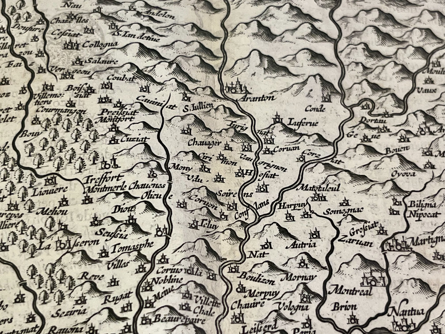
This antique map of Bresse, a historical region extending northeast of Lyon, dates from the mid-17th century and measures 56x48cm. It depicts every town and village of Bresse and was published by the Dutch cartographer H. Hondius.
Condition:
Central crease, minor stains, and slightly warped paper. Please note, my maps are vintage and not always in perfect condition!
Main cities represented:
Lyon, Villefranche-sur-Saône, Meximieux, Chalamont, Villars-les-Dombes, Belley, Le Bourget, Nantua, Seyssel, Geneva, Bourg-en-Bresse, Mâcon, Gex,...


-

Secure payment
-

Careful shipping
-

No reproduction
-

Satisfied or refunded


-

“Hello, thank you for sending this, the cards are superb!”
Jean-Philippe
-
"They are very beautiful, just need to frame them! Thank you"
Baptiste
-
"Fast shipping and very good tracking."
Alice
-
"My husband loved the maps I gave him for Christmas!"
Solène
