


Antique map of Brittany by J. Hardy - ca. 1640
Antique map of Brittany by J. Hardy - ca. 1640
Couldn't load pickup availability
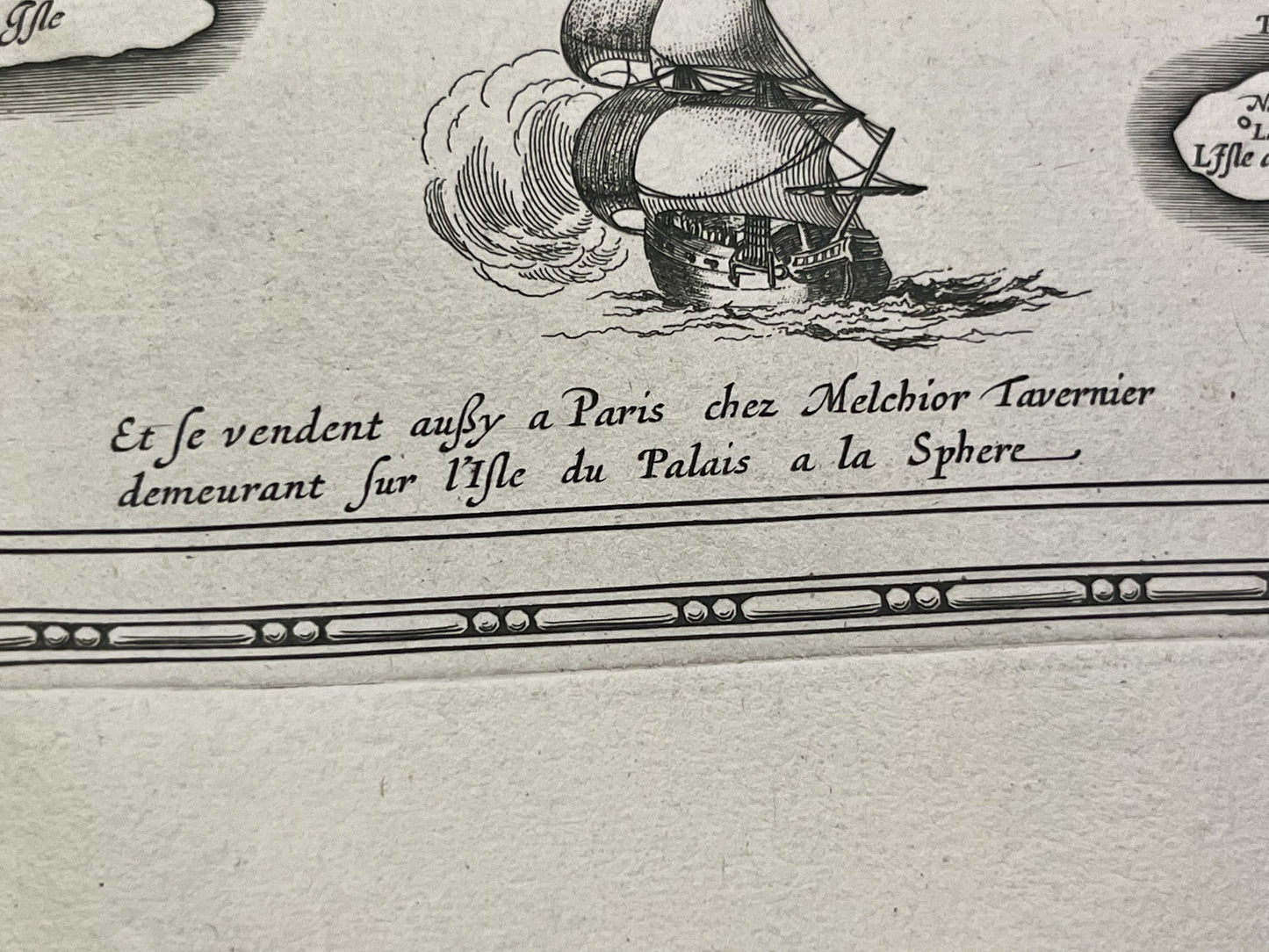
This antique map of Brittany was drawn by the French cartographer Jean Hardy and published by H. Hondius in the mid-17th century. Its dimensions are 56.5x48cm.
Condition:
Central crease, wavy paper. Please note, my maps are old and not always in perfect condition!
Main cities represented:
Nantes, Rennes, Mont-Saint-Michel, Saint-Malo, Ploermel, Belle-Île, Noirmoutier, Vannes, Morlaix, Quiberon, Brest,...


-

Secure payment
-

Careful shipping
-

No reproduction
-

Satisfied or refunded


-

“Hello, thank you for sending this, the cards are superb!”
Jean-Philippe
-
"They are very beautiful, just need to frame them! Thank you"
Baptiste
-
"Fast shipping and very good tracking."
Alice
-
"My husband loved the maps I gave him for Christmas!"
Solène
