


Antique map of the Prefecture of Champagne by G. Valk - ca. 1700
Antique map of the Prefecture of Champagne by G. Valk - ca. 1700
Couldn't load pickup availability
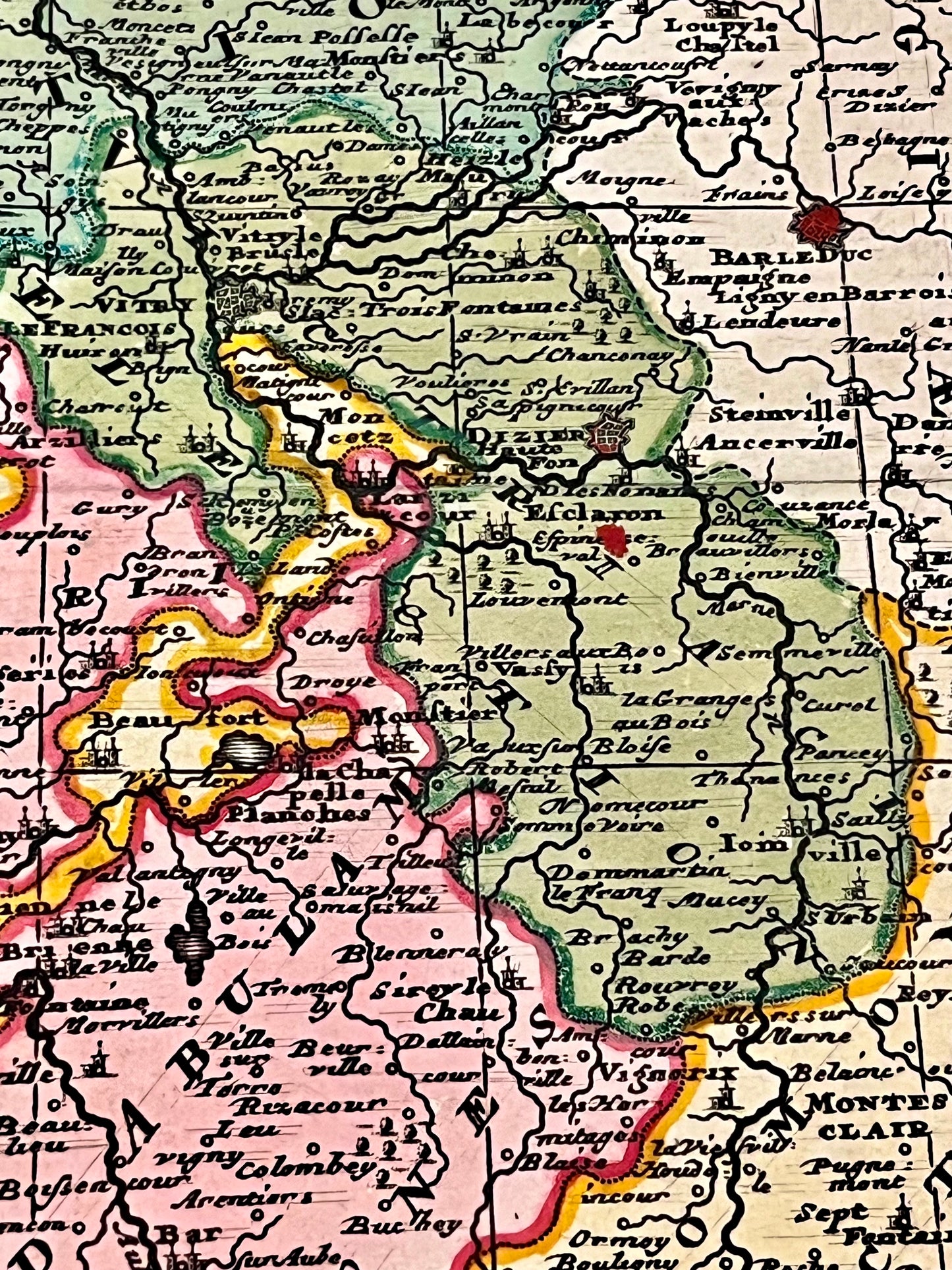
This antique map of Champagne was drawn and published by G. Valk around 1700. The dimensions of this map are 63x53.5cm.
Condition:
Good condition, minimal tear on the right edge. Please note, my maps are old and not always in perfect condition!
Main cities represented:
Auxerre, Sens, Troyes, Langres, Chaumont, Bar-le-Duc, Meaux, Saint-Dizier, Châlons-en-Champagne, Reims, Sainte-Ménéhould, Verdun, Sedan, Charleville-Mézières,...


-

Secure payment
-

Careful shipping
-

No reproduction
-

Satisfied or refunded


-

“Hello, thank you for sending this, the cards are superb!”
Jean-Philippe
-
"They are very beautiful, just need to frame them! Thank you"
Baptiste
-
"Fast shipping and very good tracking."
Alice
-
"My husband loved the maps I gave him for Christmas!"
Solène
