


Antique map of Chartres and its surroundings by the Dépôt de la Guerre - 1839
Antique map of Chartres and its surroundings by the Dépôt de la Guerre - 1839
Couldn't load pickup availability
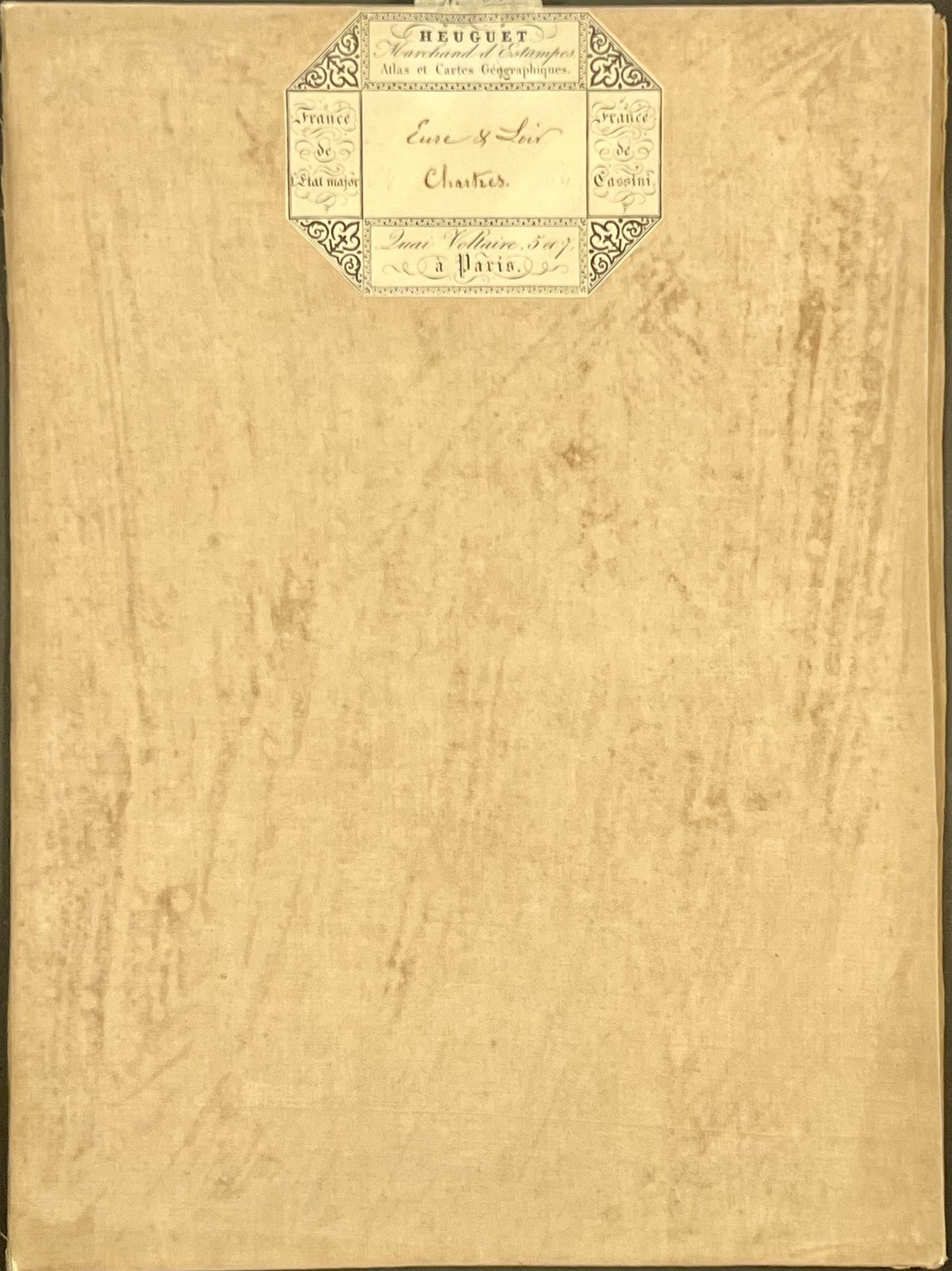
This antique French General Staff map of Eure-et-Loir titled "Chartres" (No. 64) was produced by the Dépôt de la Guerre and published in 1839. It is linen-backed and measures 85x57.5cm.
Condition:
Linen worn, small holes in places, stains. Please note, my maps are old and are not always in perfect condition!
Main places represented:
Abondant, Adainville, Ardelles, Anet, Bazainville, Bligny, Bourdonné, Brezolles, Bérou-la-Mulotière, Châteauneuf-en-Thymerais, Cherisy, Condé-sur-Vesgre, Dampierre-sur-Avre, Digny, Dreux, Favières, Fessanvilliers-Mattanvilliers, Fontaine-les-Ribouts, Friaize, Gambais, Gambaiseuil, Goussainville, Grandchamp, Houdan, Les Mesnuls, Luray, Maillebois, Marville-Moutiers-Brûlé, Maulette, Montchauvet, Montfort-l'Amaury, Mézières-en-Drouais, Nonancourt, Ouerre, Orgerus, Prudemanche, Saint-Jean-de-Rebervilliers, Saint-Lubin-des-Joncherets, Saint-Léger-en-Yvelines, Saint-Maixme-Hauterive, Saint-Rémy-sur-Avre, Saint-Sauveur-Marville, Sainte-Gemme-Moronval, Tacoignières, Thimert-Gatelles, Tillières-sur-Avre, Tremblay-les-Villages, Tréon, Vernouillet, Vert-en-Drouais, Villemeux-sur-Eure


-

Secure payment
-

Careful shipping
-

No reproduction
-

Satisfied or refunded


-

“Hello, thank you for sending this, the cards are superb!”
Jean-Philippe
-
"They are very beautiful, just need to frame them! Thank you"
Baptiste
-
"Fast shipping and very good tracking."
Alice
-
"My husband loved the maps I gave him for Christmas!"
Solène
