


Antique map of China, Korea and Japan by R. Bonne - ca. 1770
Antique map of China, Korea and Japan by R. Bonne - ca. 1770
Couldn't load pickup availability
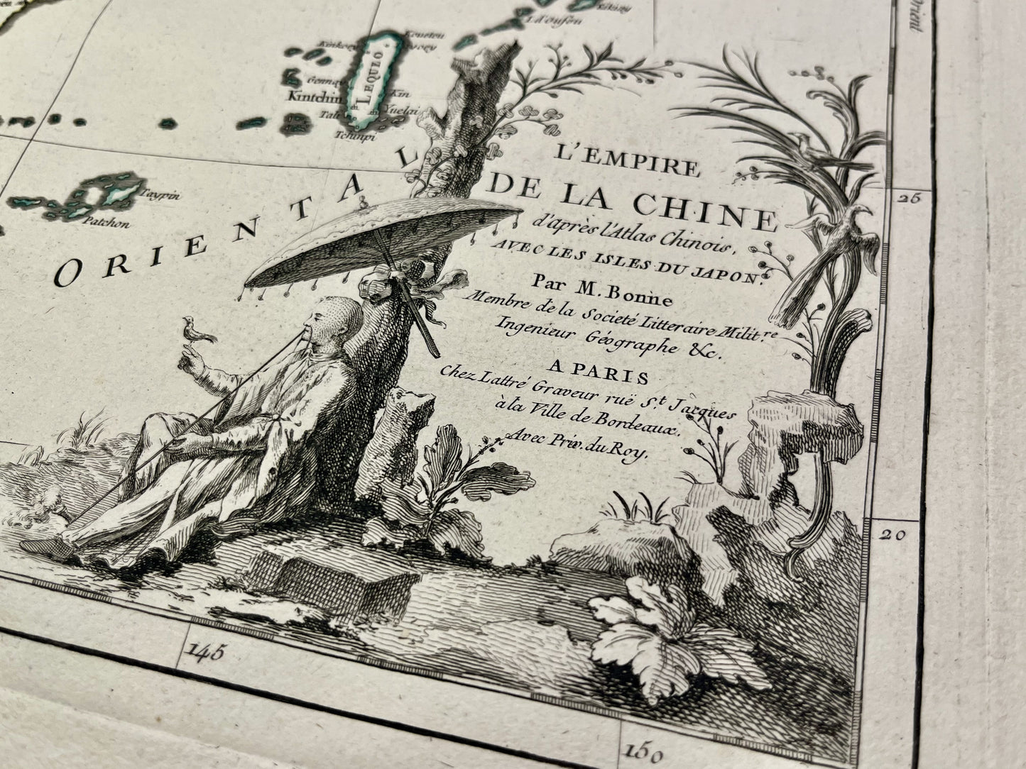
This antique map of Asia shows the countries of the Far East. It shows the islands of Japan, Korea, China and Formosa (Taiwan). It was drawn up by R. Bonne and published by J. Lattré at the end of the 18th century. The size of this map is 56x39cm.
Condition:
Very good condition, minimal stains, central crease. Please note, my maps are old and are not always in perfect condition!
List of countries represented:
North Korea, South Korea, Japan, Taiwan, China


-

Secure payment
-

Careful shipping
-

No reproduction
-

Satisfied or refunded


-

“Hello, thank you for sending this, the cards are superb!”
Jean-Philippe
-
"They are very beautiful, just need to frame them! Thank you"
Baptiste
-
"Fast shipping and very good tracking."
Alice
-
"My husband loved the maps I gave him for Christmas!"
Solène
