


Antique map of the County of Artois by N. Visscher - ca. 1680
Antique map of the County of Artois by N. Visscher - ca. 1680
Couldn't load pickup availability
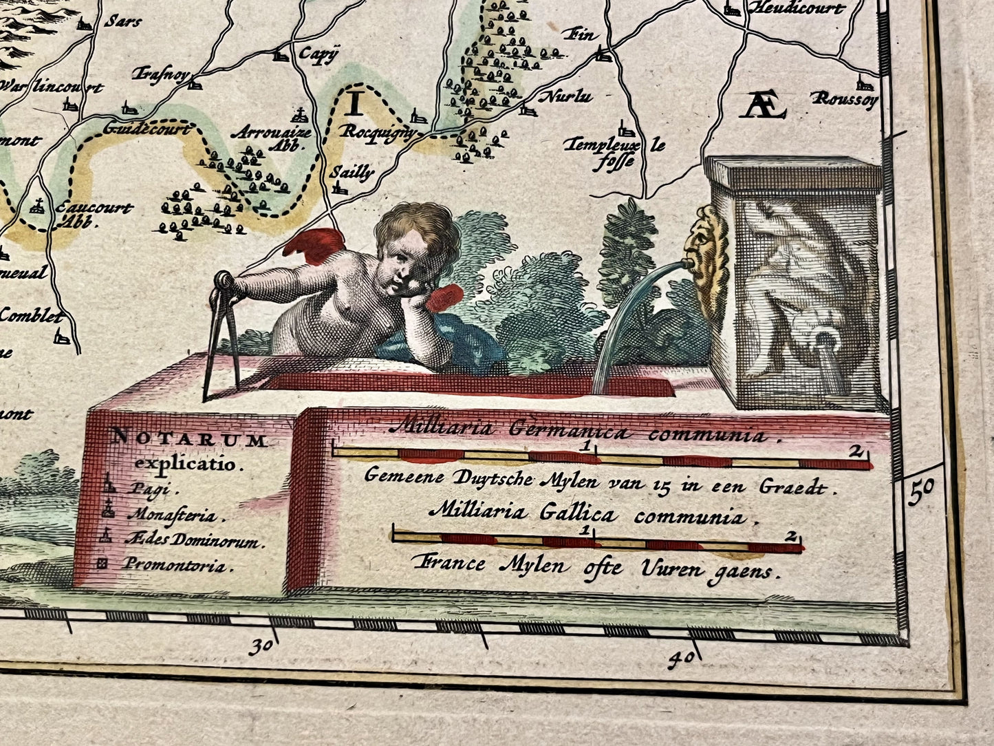
This antique map of Nord-Pas-de-Calais, depicting the County of Artois, was drawn by Nicolas Visscher at the end of the 17th century. The map measures 59x50.5cm.
Condition:
Tears on the edges, central crease. Please note, my maps are old and not always in perfect condition!
Main cities represented:
Bapaume, Arras, Douai, Pas-en-Artois, Doullens, Lens, Arleux, Béthune, Saint-Pol-sur-Ternoise, Hesdin, Montreuil-sur-Mer, Étaples, Renty, Saint-Omer, Cassel,...


-

Secure payment
-

Careful shipping
-

No reproduction
-

Satisfied or refunded


-

“Hello, thank you for sending this, the cards are superb!”
Jean-Philippe
-
"They are very beautiful, just need to frame them! Thank you"
Baptiste
-
"Fast shipping and very good tracking."
Alice
-
"My husband loved the maps I gave him for Christmas!"
Solène
