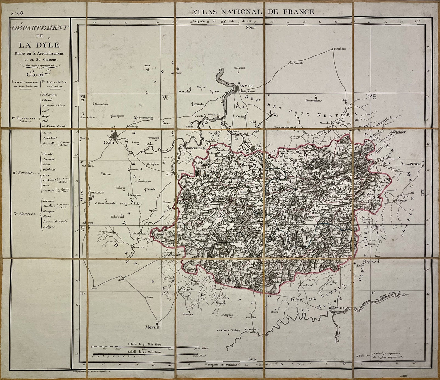
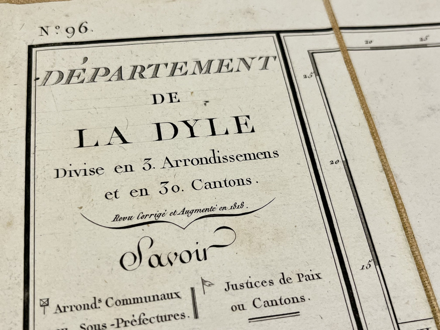
Antique map of the Dyle department by PG Chanlaire - ca. 1820
Antique map of the Dyle department by PG Chanlaire - ca. 1820
Regular price
240,00 €
Regular price
Sale price
240,00 €
Unit price
per
Taxes included.
Couldn't load pickup availability
This antique map of Belgium, depicting the First Empire department of Dyle, is canvas-backed and was created by the French geographer Pierre-Gilles Chanlaire in the early 19th century. It is from the Atlas National de France and measures 62x53.5cm.
Condition:
Very good condition. Please note, my maps are old and not always in perfect condition!
List of main cities represented:
Brussels, Leuven,...


