


Antique map of the Electoral Circle of the Lower Rhine by M. Seutter - ca. 1750
Antique map of the Electoral Circle of the Lower Rhine by M. Seutter - ca. 1750
Couldn't load pickup availability
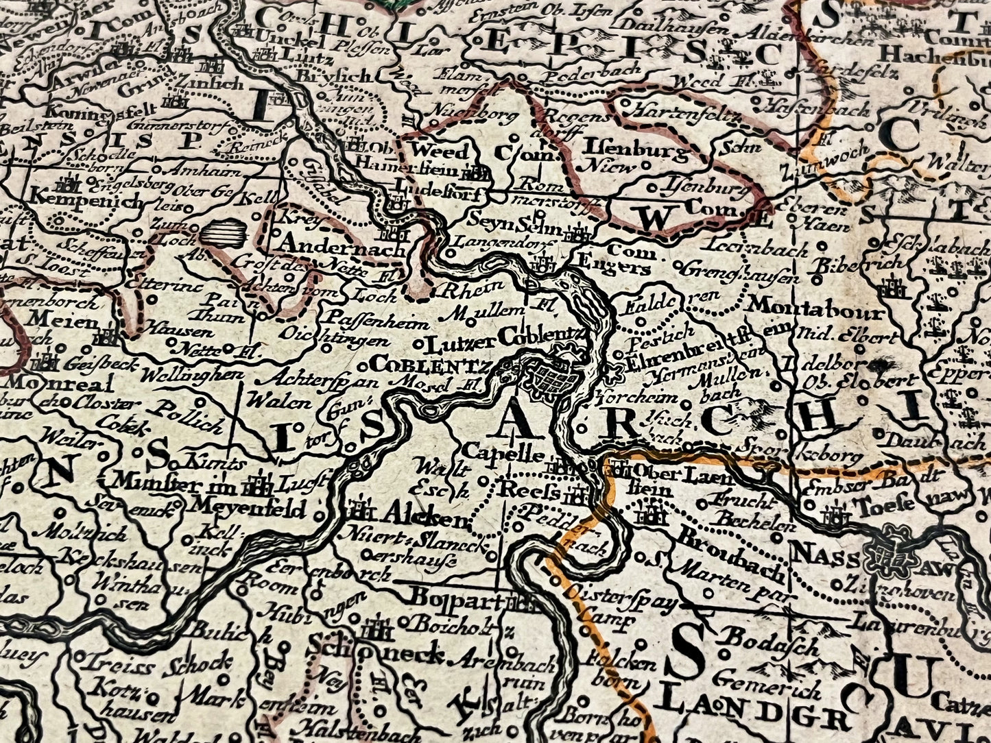
This antique map of Germany depicting the Electoral Circle of the Lower Rhine was drawn by the German cartographer Matthias Seutter in the mid-18th century. Its dimensions are 59.5x53cm.
Condition:
Good condition, central crease, minor stains and adhesive tape on the back. Please note, my maps are old and not always in perfect condition!
List of the main cities represented:
Frankfurt, Darmstadt, Mainz, Koblenz, Mannheim, Heidelberg, Bonn, Cologne, Düsseldorf,...


-

Secure payment
-

Careful shipping
-

No reproduction
-

Satisfied or refunded


-

“Hello, thank you for sending this, the cards are superb!”
Jean-Philippe
-
"They are very beautiful, just need to frame them! Thank you"
Baptiste
-
"Fast shipping and very good tracking."
Alice
-
"My husband loved the maps I gave him for Christmas!"
Solène
