


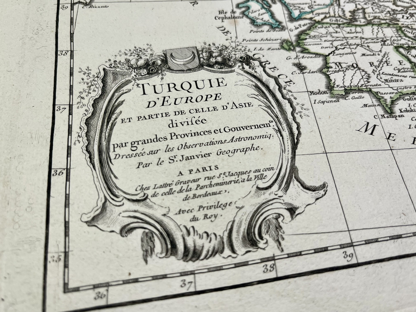
Antique map of European Turkey by J. Janvier - ca. 1780
Antique map of European Turkey by J. Janvier - ca. 1780
Regular price
140,00 €
Regular price
Sale price
140,00 €
Unit price
per
Tax included.
Couldn't load pickup availability
This antique map of European Turkey shows Greece, present-day Turkey, the Balkans and Cyprus. It was drawn up by J. Janvier and published by J. Lattré at the end of the 18th century. The size of this map is 56x39cm.
Condition:
Very good condition, minimal stains, central crease. Please note, my maps are old and are not always in perfect condition!
List of countries represented:
Turkey, Cyprus, Greece, Albania, Macedonia, Montenegro, Serbia, Bulgaria


-

Paiement sécurisé
-

Envoi soigné
-

Aucune reproduction
-

Satisfait ou remboursé


