


Antique map of Flanders - Ghent - by J. Blaeu - ca. 1650
Antique map of Flanders - Ghent - by J. Blaeu - ca. 1650
Couldn't load pickup availability
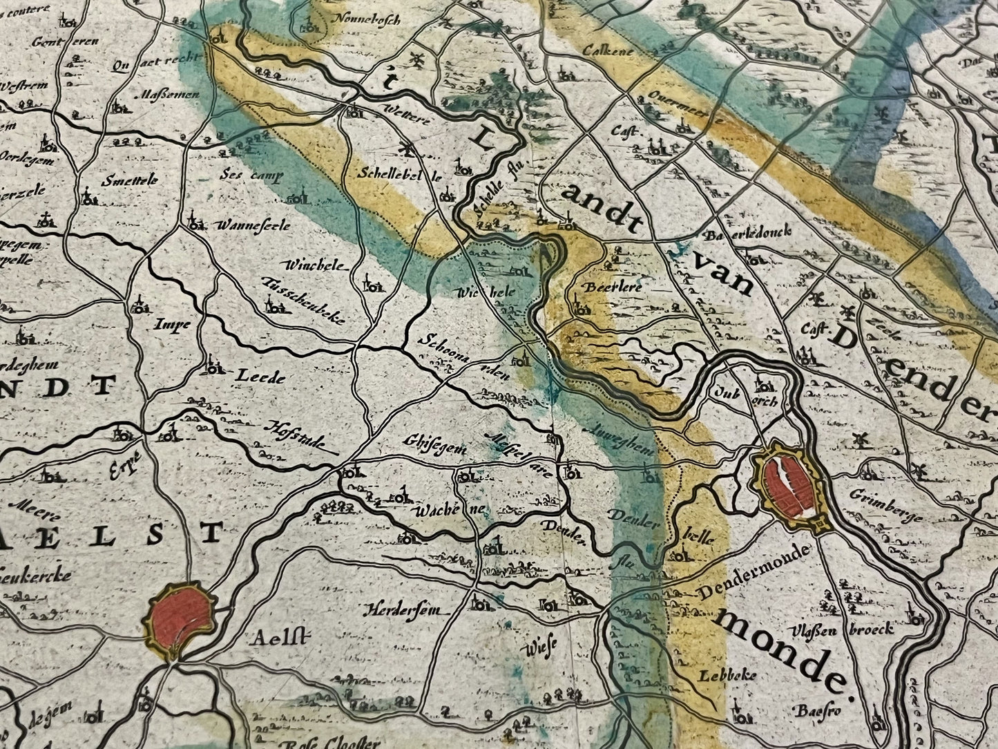
This antique map of Belgium and the Netherlands covers part of Flanders and includes the cities of Ghent and Hulst. It was published by the Dutch cartographer J. Blaeu in the mid-17th century and measures 62x52.5cm. Beautiful period coloring.
Condition:
Central crease, minor stains and tears on the edges. Please note, my maps are old and not always in perfect condition!
Main cities represented:
Hulst, Axel, Ghent, Dendermonde, Aalst,...


-

Secure payment
-

Careful shipping
-

No reproduction
-

Satisfied or refunded


-

“Hello, thank you for sending this, the cards are superb!”
Jean-Philippe
-
"They are very beautiful, just need to frame them! Thank you"
Baptiste
-
"Fast shipping and very good tracking."
Alice
-
"My husband loved the maps I gave him for Christmas!"
Solène
