


Antique map of Franche-Comté by JB Homann - ca. 1720
Antique map of Franche-Comté by JB Homann - ca. 1720
Couldn't load pickup availability
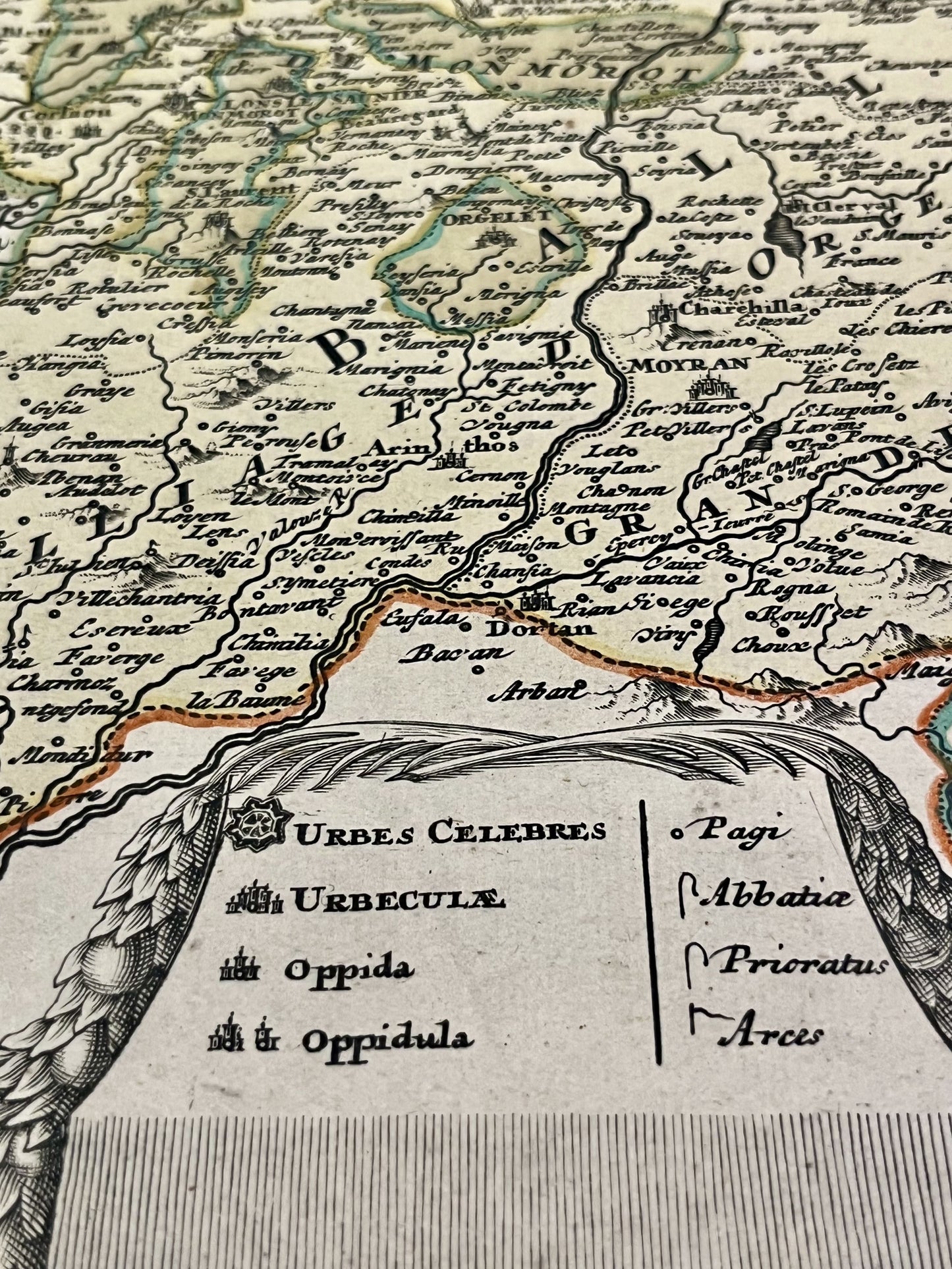
This antique map covering the Jura, Haute-Saône and Doubs represents part of the former County of Burgundy. It was drawn up and published by JB Homann at the beginning of the 18th century. The dimensions of this map are 63.5x52.5cm.
Condition:
Central crease, minimal stains and some tears at the edge of the map. Please note, my maps are old and are not always in perfect condition!
List of main cities represented:
Lons-le-Saunier, Orgelet, Château-Chalon, Dole, Pontarlier, Saint-Claude, Ornans, Besançon, Gray, Conflans, Luxeuil-les-Bains, Vesoul, Lure, Montbéliard,...


-

Secure payment
-

Careful shipping
-

No reproduction
-

Satisfied or refunded


-

“Hello, thank you for sending this, the cards are superb!”
Jean-Philippe
-
"They are very beautiful, just need to frame them! Thank you"
Baptiste
-
"Fast shipping and very good tracking."
Alice
-
"My husband loved the maps I gave him for Christmas!"
Solène
