


Antique map of Funen, Denmark, by G. Mercator and H. Hondius - ca. 1630
Antique map of Funen, Denmark, by G. Mercator and H. Hondius - ca. 1630
Regular price
160,00 €
Regular price
Sale price
160,00 €
Unit price
per
Taxes included.
Couldn't load pickup availability
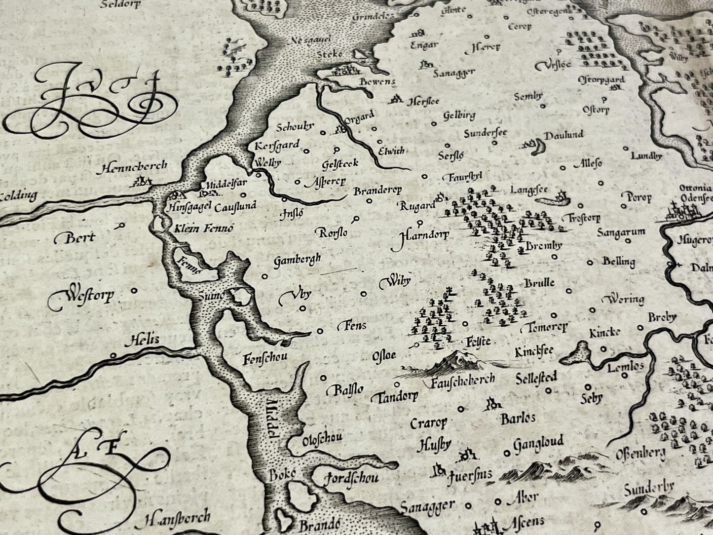
This antique map of Denmark depicting the island of Funen and the neighboring islands was created and published by the cartographers G. Mercator and H. Hondius in the mid-17th century . Its dimensions are 56.5x48cm.
Condition:
Significant central crease, stains, minor tears on the edges. Please note, my maps are old and not always in perfect condition!


-

Secure payment
-

Careful shipping
-

No reproduction
-

Satisfied or refunded


-

“Hello, thank you for sending this, the cards are superb!”
Jean-Philippe
-
"They are very beautiful, just need to frame them! Thank you"
Baptiste
-
"Fast shipping and very good tracking."
Alice
-
"My husband loved the maps I gave him for Christmas!"
Solène
