


Antique map of the General Prefecture of Orléans by G. Valk - ca. 1720
Antique map of the General Prefecture of Orléans by G. Valk - ca. 1720
Couldn't load pickup availability
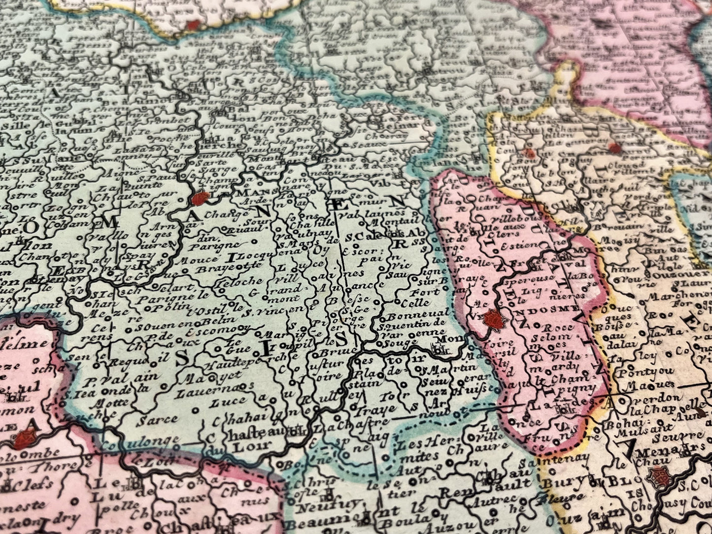
This antique map of the General Prefecture of Orléans (Aurelianensis Praefectura Generalise) covers the current regions of Centre, Poitou-Charentes and Pays de la Loire. It was drawn up and published by G. Valk around 1720. The size of this map is 65.5x54.5cm.
Condition:
Good condition, minimal stains. Please note, my maps are old and are not always in perfect condition!
List of main cities represented:
Orleans, Blois, Bourges, Nevers, Chartres, Nogent-le-Rotrou, Châteaudun, Tours, Le Mans, Mayenne, La Flèche, Angers, Loudun, Nantes, Poitiers, Lucon, Fontenay-le-Comte, La Rochelle, Angoulême, Limoges, Gueret, Saintes, Issoudun, the Island of Ré, the Island of Oléron, Noirmoutier, the Island of Yeu, Nantes, Laval...


-

Secure payment
-

Careful shipping
-

No reproduction
-

Satisfied or refunded


-

“Hello, thank you for sending this, the cards are superb!”
Jean-Philippe
-
"They are very beautiful, just need to frame them! Thank you"
Baptiste
-
"Fast shipping and very good tracking."
Alice
-
"My husband loved the maps I gave him for Christmas!"
Solène
