


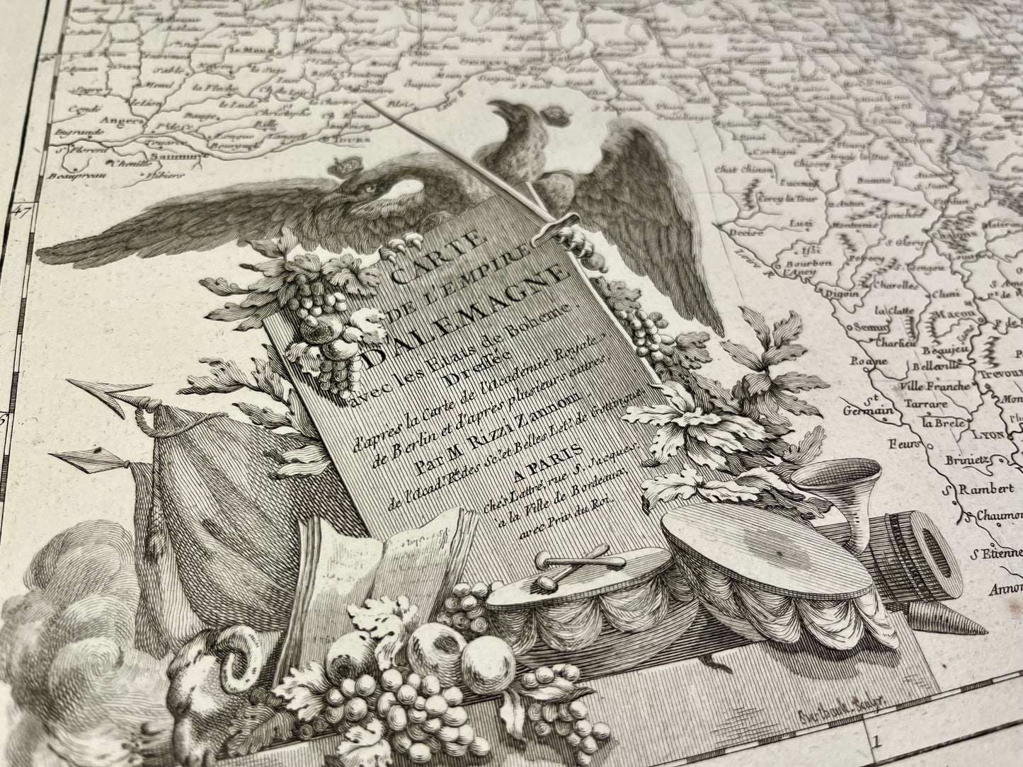
Antique map of the German Empire by GA. Rizzi-Zannoni - ca. 1780
Antique map of the German Empire by GA. Rizzi-Zannoni - ca. 1780
Regular price
220,00 €
Regular price
Sale price
220,00 €
Unit price
per
Taxes included.
Couldn't load pickup availability
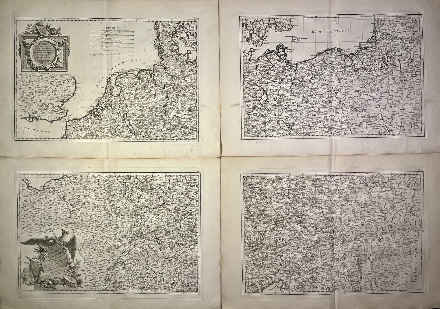
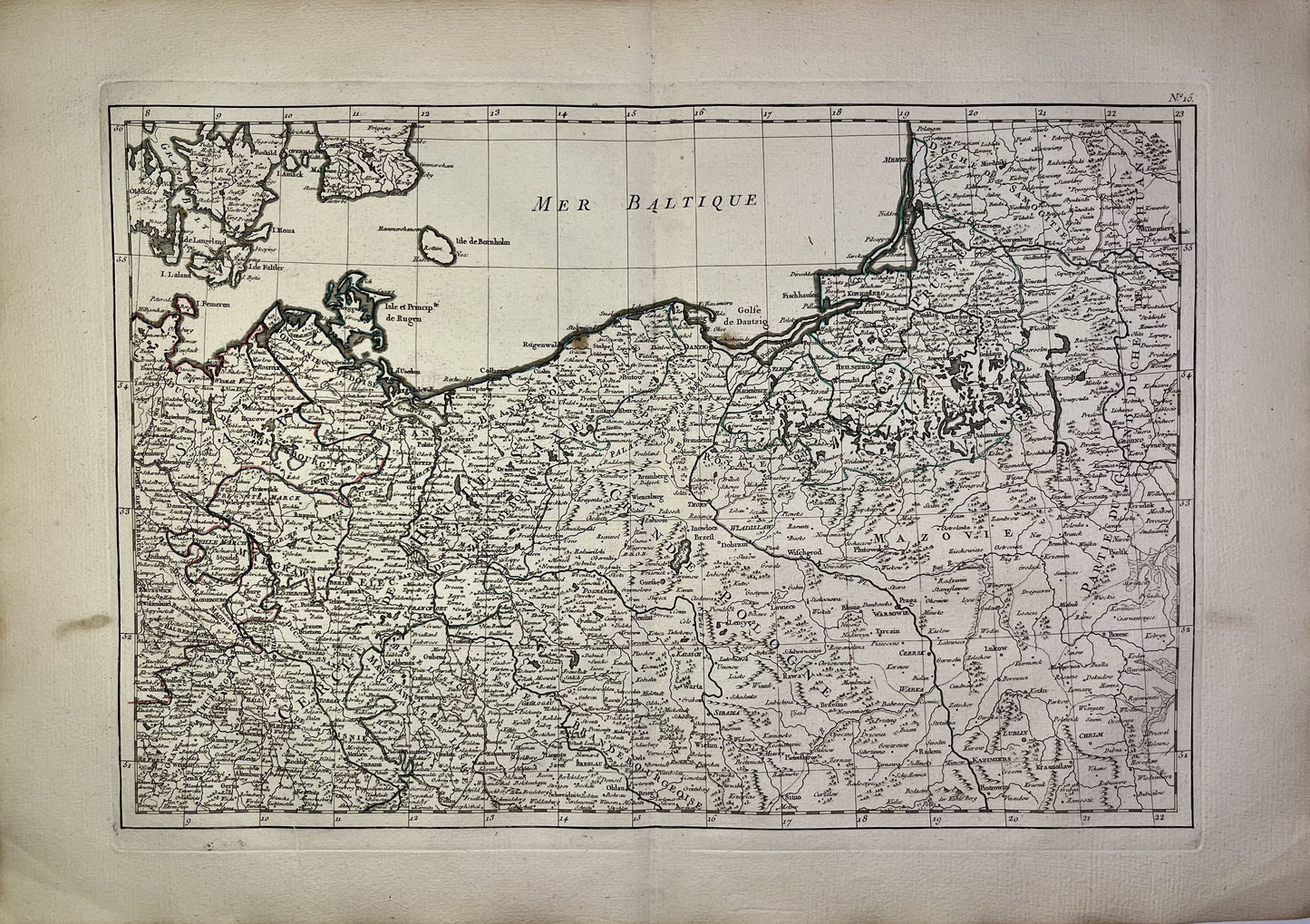
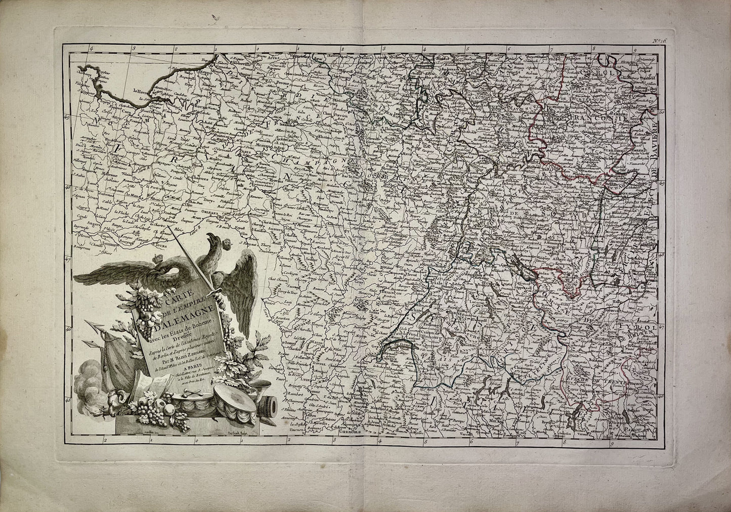
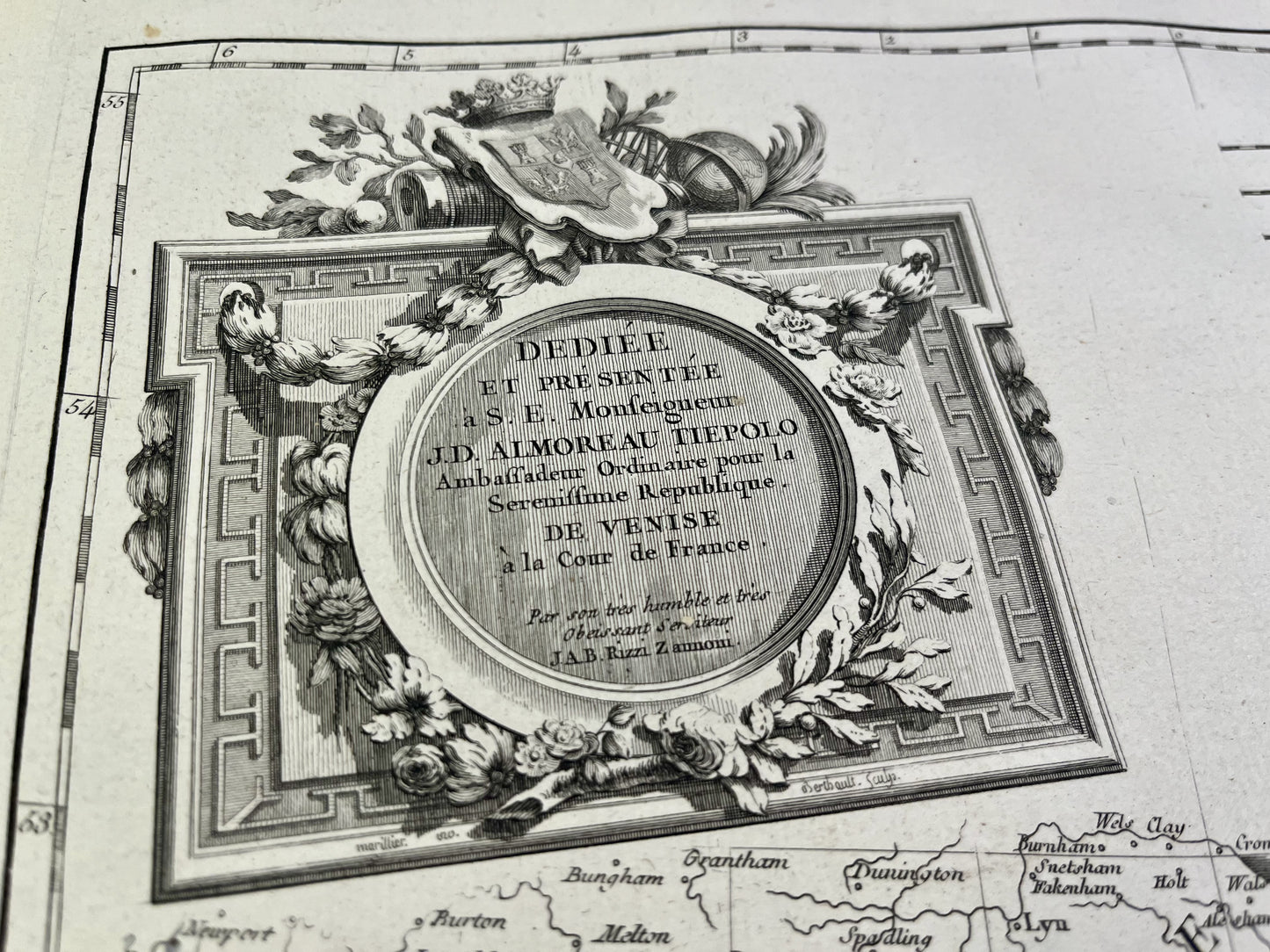
This antique map of Germany shows, in four parts, the German Empire, from the Netherlands to Poland. It was drawn up by GA. Rizzi-Zannoni and published by J. Lattré at the end of the 18th century. The dimensions of each of the four maps are 56x39cm.
Condition :
Very good condition, minimal stains, central crease. Please note, my maps are old and are not always in perfect condition!


-

Secure payment
-

Careful shipping
-

No reproduction
-

Satisfied or refunded


-

“Hello, thank you for sending this, the cards are superb!”
Jean-Philippe
-
"They are very beautiful, just need to frame them! Thank you"
Baptiste
-
"Fast shipping and very good tracking."
Alice
-
"My husband loved the maps I gave him for Christmas!"
Solène
