


Antique map of the Government of Île-de-France by J. Leclerc - 1617
Antique map of the Government of Île-de-France by J. Leclerc - 1617
Regular price
170,00 €
Regular price
Sale price
170,00 €
Unit price
per
Taxes included.
Couldn't load pickup availability
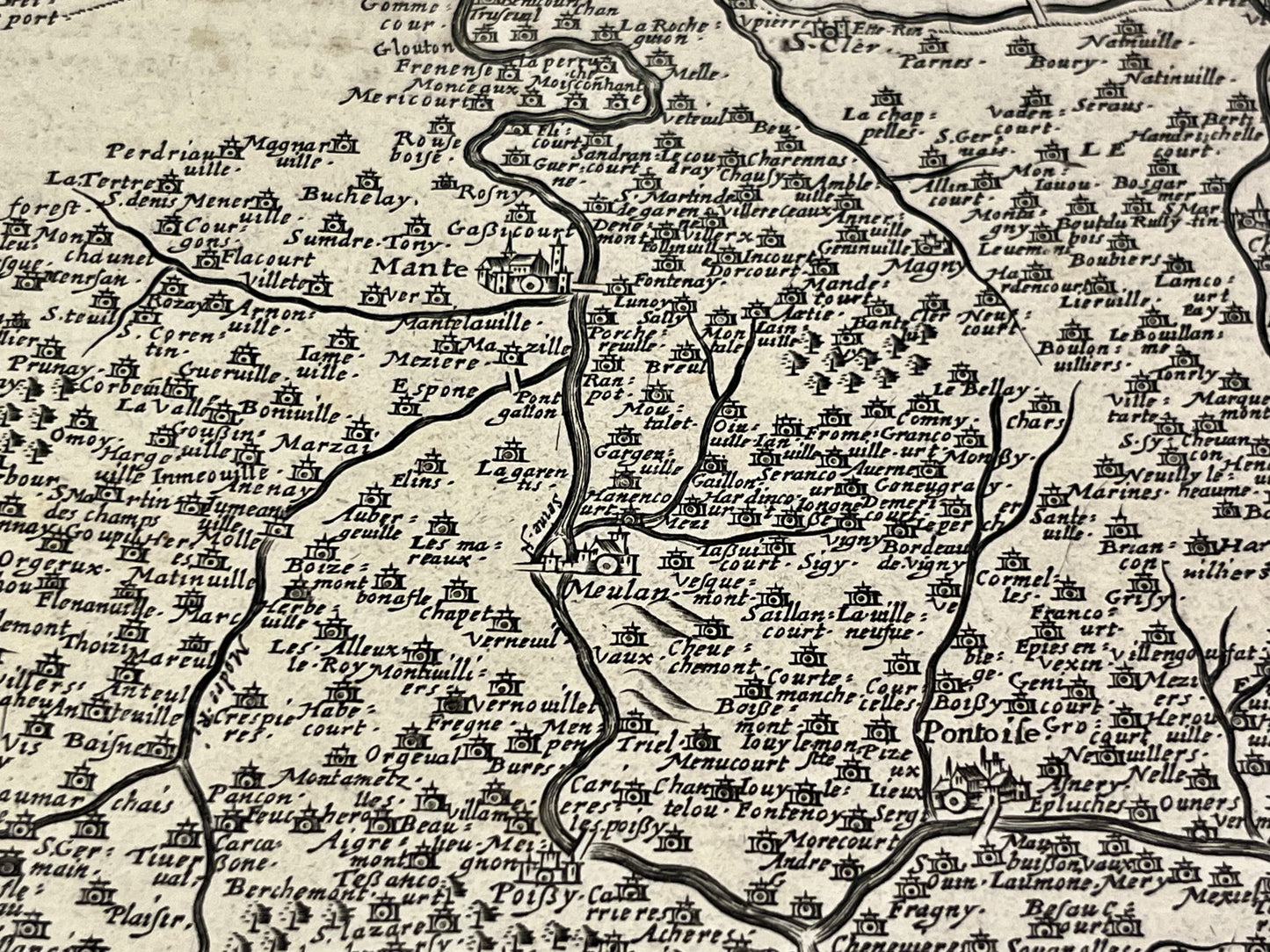
This antique map of Île-de-France was published by Jean Leclerc in 1617. Its dimensions are 54.5x40.5cm.
Condition:
Central crease, stains. Please note, my maps are old and not always in perfect condition!
Main cities represented:
Paris, Noyon, Senlis, Soissons, La Ferté-Milon, Meaux, Montdidier, Compiègne, Meaux, Pontoise, Beauvais, Gisors, Mantes-la-Jolie, Melun, Creil,...


-

Secure payment
-

Careful shipping
-

No reproduction
-

Satisfied or refunded


-

“Hello, thank you for sending this, the cards are superb!”
Jean-Philippe
-
"They are very beautiful, just need to frame them! Thank you"
Baptiste
-
"Fast shipping and very good tracking."
Alice
-
"My husband loved the maps I gave him for Christmas!"
Solène
