


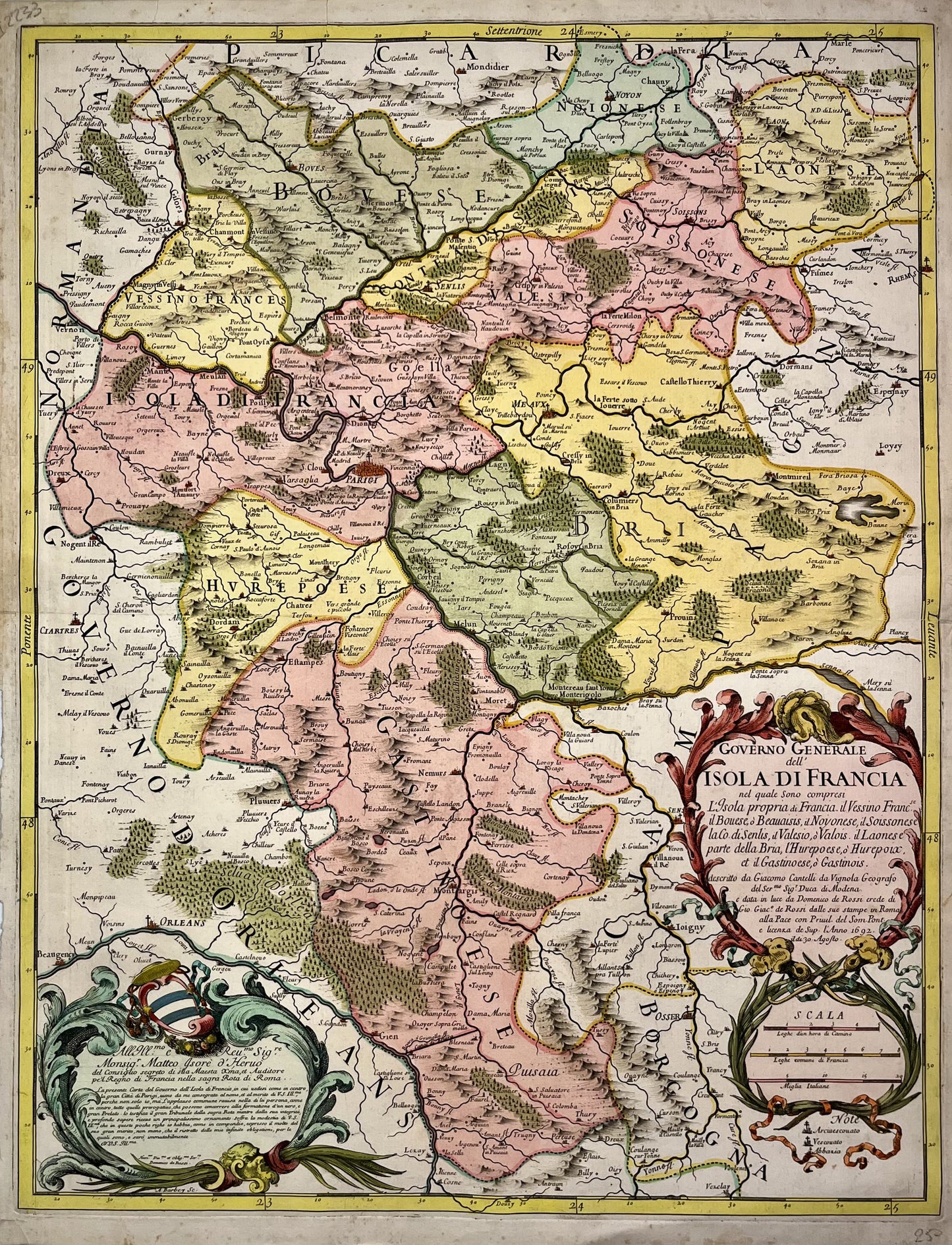
Antique map of Île-de-France by G. Cantelli - 1692
Antique map of Île-de-France by G. Cantelli - 1692
Couldn't load pickup availability
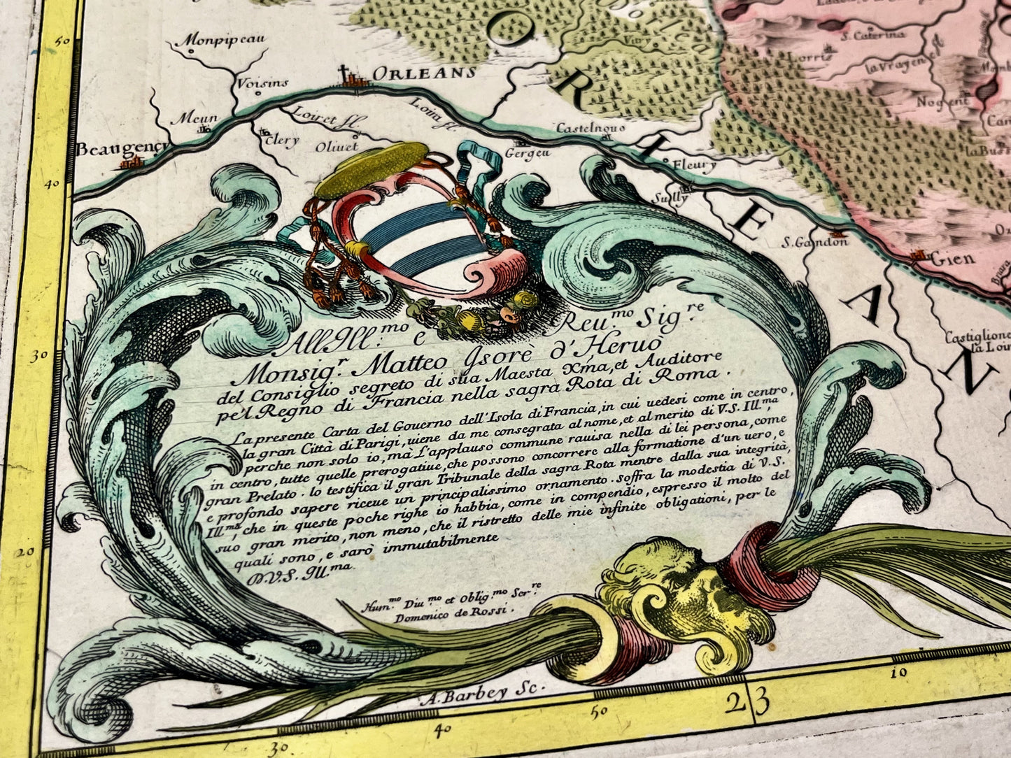
This antique map of the Île-de-France region shows Paris, Versailles and their surroundings. It was drawn up by the Italian cartographer Giacomo Cantelli in 1692. Its colors are magnificent. The size of this map is 60.5x47cm.
Condition:
Good condition, minimal stains, off-map tear on lower left portion. Please note, my maps are old and are not always in perfect condition!
List of cities represented:
Montargis, Provins, Dourdain, Meaux, Coulommiers, Saint-Denis, Paris, Dreux, Chartres, Versailles, Château-Thierry, Laon, Soissons, Crépy-en-Valois, Senlis, Gisors, Noyon, Beauvais, Mante, Poissy,...


-

Secure payment
-

Careful shipping
-

No reproduction
-

Satisfied or refunded


-

“Hello, thank you for sending this, the cards are superb!”
Jean-Philippe
-
"They are very beautiful, just need to frame them! Thank you"
Baptiste
-
"Fast shipping and very good tracking."
Alice
-
"My husband loved the maps I gave him for Christmas!"
Solène
