


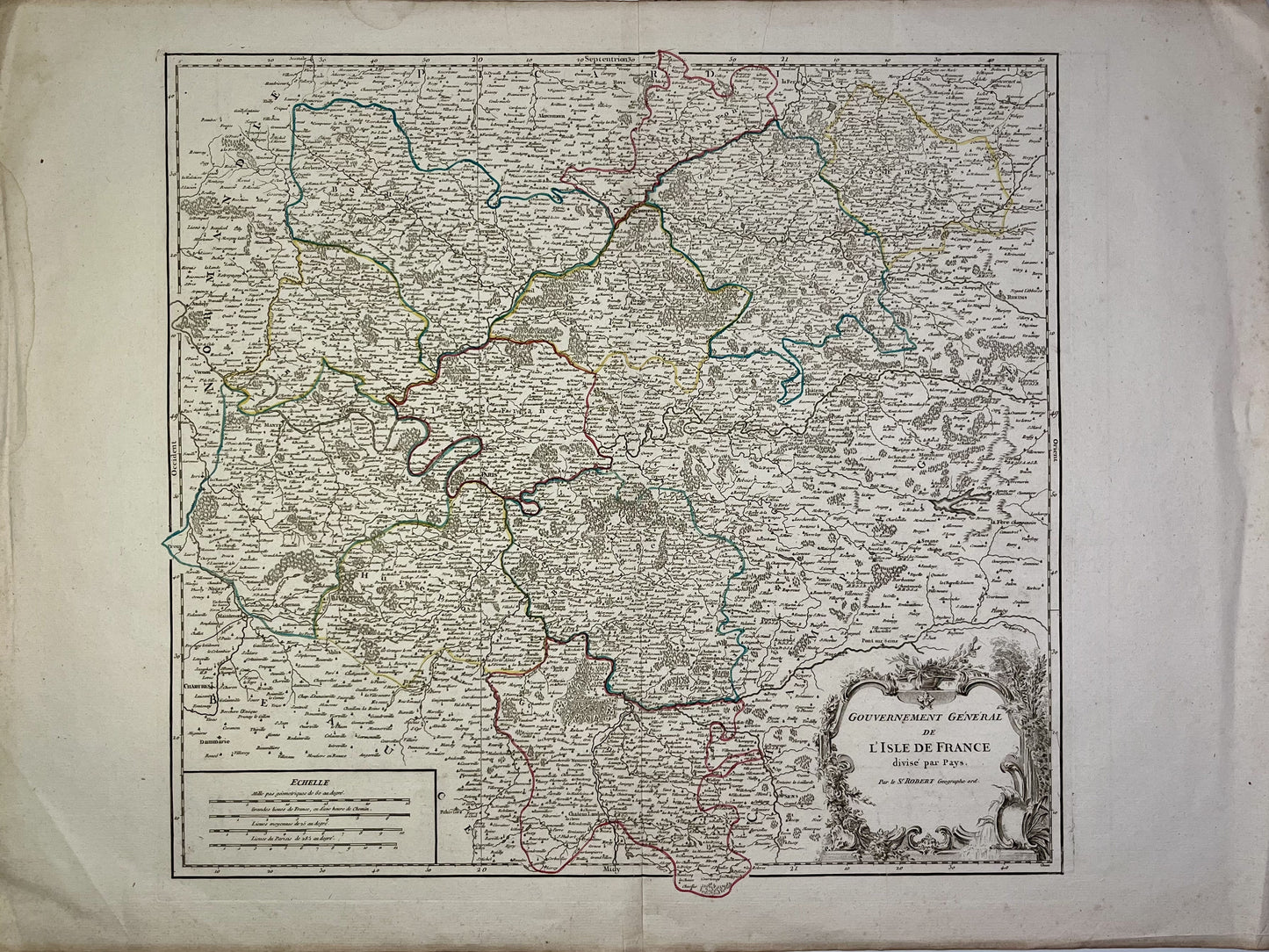
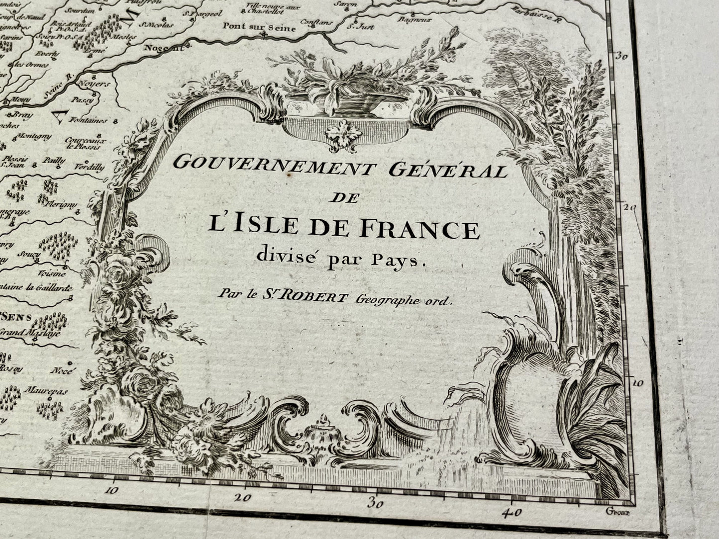
Antique map of the Government of Île-de-France by G. Robert de Vaugondy - ca. 1750
Antique map of the Government of Île-de-France by G. Robert de Vaugondy - ca. 1750
Couldn't load pickup availability
This antique map of the Île-de-France government dates from the mid-18th century and measures 76x55.5cm. It was created by French cartographer Gilles Robert de Vaugondy.
Condition:
Crease in center and minimal tears on edges. Please note, my maps are old and are not always in perfect condition!
List of main cities represented:
Paris, Meaux, La Ferté-Millon, Rambouillet, Pontoise, Beauvais, Mantes, Soissons, Senlis,...

-

Secure payment
-

Careful shipping
-

No reproduction
-

Satisfied or refunded


-

“Hello, thank you for sending this, the cards are superb!”
Jean-Philippe
-
"They are very beautiful, just need to frame them! Thank you"
Baptiste
-
"Fast shipping and very good tracking."
Alice
-
"My husband loved the maps I gave him for Christmas!"
Solène
