


Antique map of the Kingdom of Castile - Spain - W. Blaeu - ca. 1640
Antique map of the Kingdom of Castile - Spain - W. Blaeu - ca. 1640
Couldn't load pickup availability
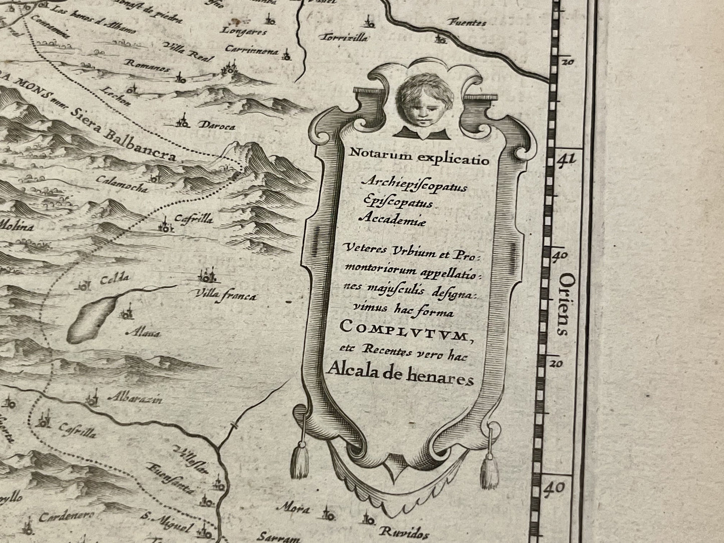
This antique map of Spain depicts the two Castiles. It was published by the Dutch cartographer Willem Blaeu in the mid-17th century and measures 57x48cm.
Condition:
Central crease, wavy paper. Please note, my maps are old and not always in perfect condition!
Main cities represented:
Madrid, Valladolid, Burgos, Segovia, Avila, Palencia, Lerma, Zaragoza, Logrono, Toledo, Cuenca, Valencia, Ciudad Real, Ubeda, Jaén, Cordoba, Alicante, Murcia, Cartagena, Seville, Mérida, Badajoz, Salamanca, Ciudad Rodrigo, Guarda,...


-

Secure payment
-

Careful shipping
-

No reproduction
-

Satisfied or refunded


-

“Hello, thank you for sending this, the cards are superb!”
Jean-Philippe
-
"They are very beautiful, just need to frame them! Thank you"
Baptiste
-
"Fast shipping and very good tracking."
Alice
-
"My husband loved the maps I gave him for Christmas!"
Solène
