


Antique map of the Kingdom of France by G. Robert de Vaugondy - ca. 1750
Antique map of the Kingdom of France by G. Robert de Vaugondy - ca. 1750
Regular price
170,00 €
Regular price
Sale price
170,00 €
Unit price
per
Taxes included.
Couldn't load pickup availability
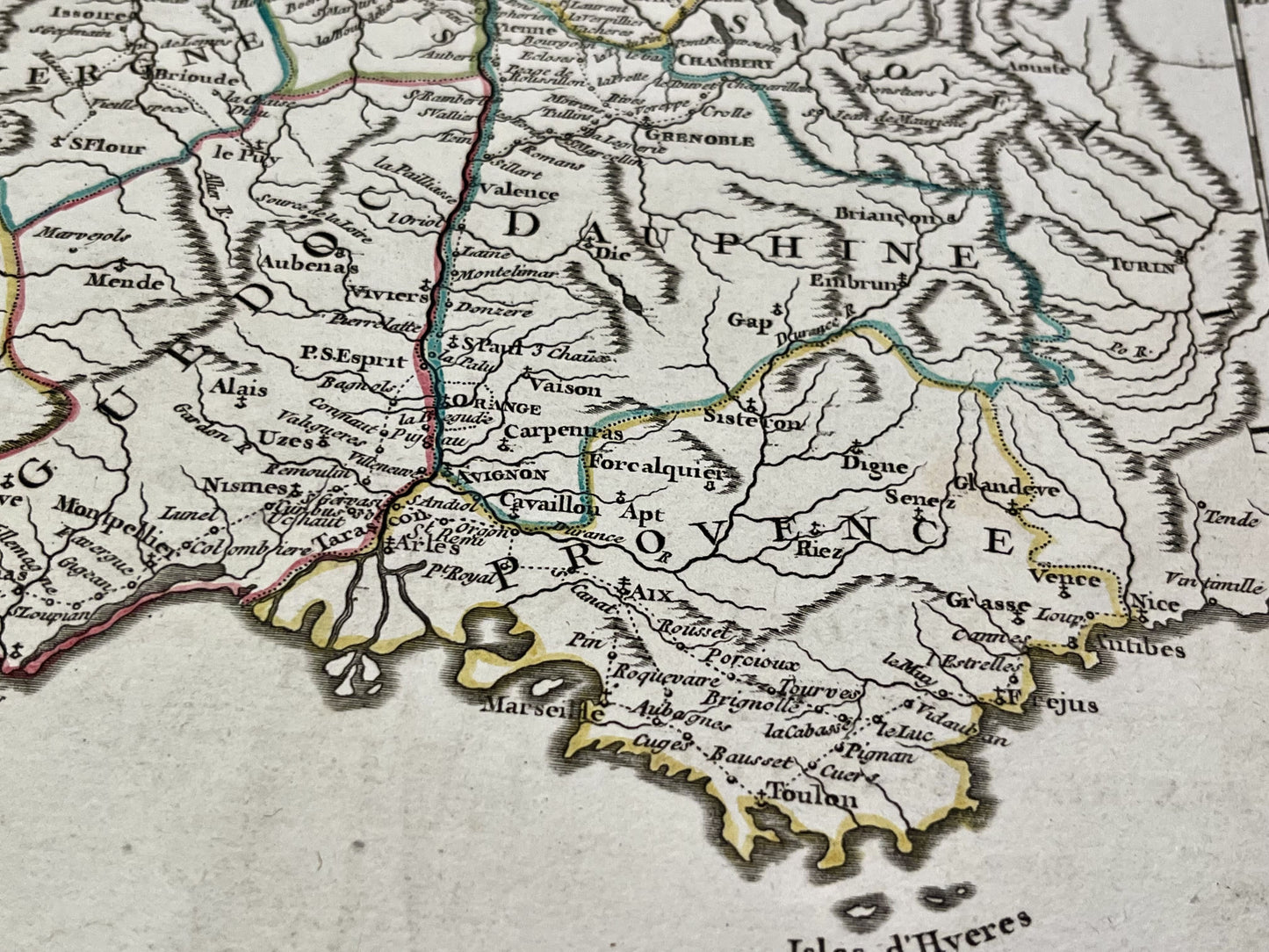
This antique map of the Kingdom of France depicts the postal routes. It was created by the French cartographer Gilles Robert de Vaugondy in the mid-18th century. The map measures 77.5x55.5cm.
Condition:
Minor stains, central crease. Please note, my maps are old and not always in perfect condition!


-

Secure payment
-

Careful shipping
-

No reproduction
-

Satisfied or refunded


-

“Hello, thank you for sending this, the cards are superb!”
Jean-Philippe
-
"They are very beautiful, just need to frame them! Thank you"
Baptiste
-
"Fast shipping and very good tracking."
Alice
-
"My husband loved the maps I gave him for Christmas!"
Solène
