


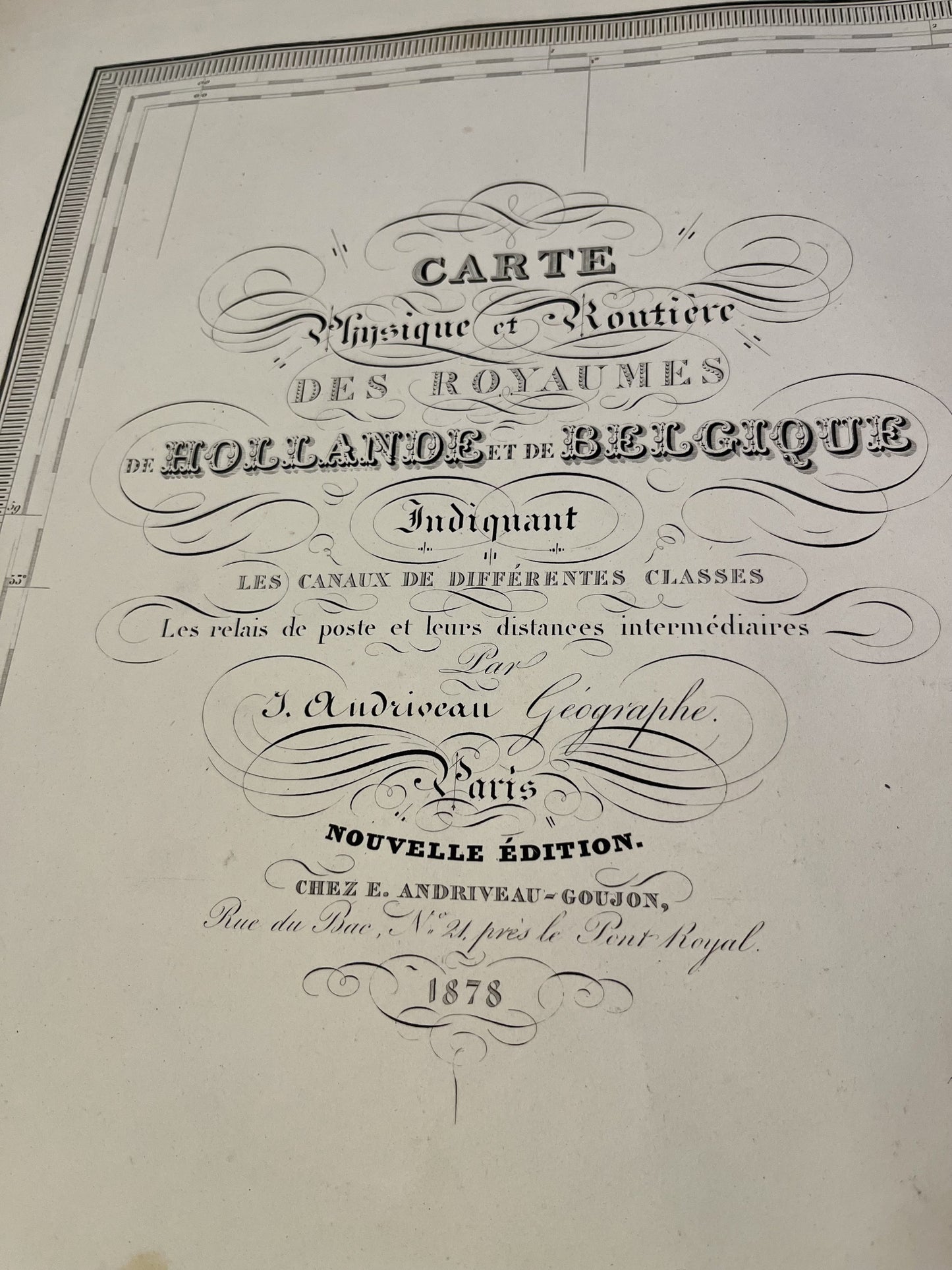
Antique map of the Kingdoms of Holland and Belgium by J. Andriveau - 1878
Antique map of the Kingdoms of Holland and Belgium by J. Andriveau - 1878
Regular price
140,00 €
Regular price
Sale price
140,00 €
Unit price
per
Taxes included.
Couldn't load pickup availability
This antique map of the Kingdoms of the Netherlands and Belgium was drawn up by J. Andriveau and published by E. Andriveau-Goujon in 1878. Its dimensions are 101x70cm.
Condition:
Stains, center fold and minimal tears on the edges. Please note, my maps are old and are not always in perfect condition!


-

Secure payment
-

Careful shipping
-

No reproduction
-

Satisfied or refunded


-

“Hello, thank you for sending this, the cards are superb!”
Jean-Philippe
-
"They are very beautiful, just need to frame them! Thank you"
Baptiste
-
"Fast shipping and very good tracking."
Alice
-
"My husband loved the maps I gave him for Christmas!"
Solène
