


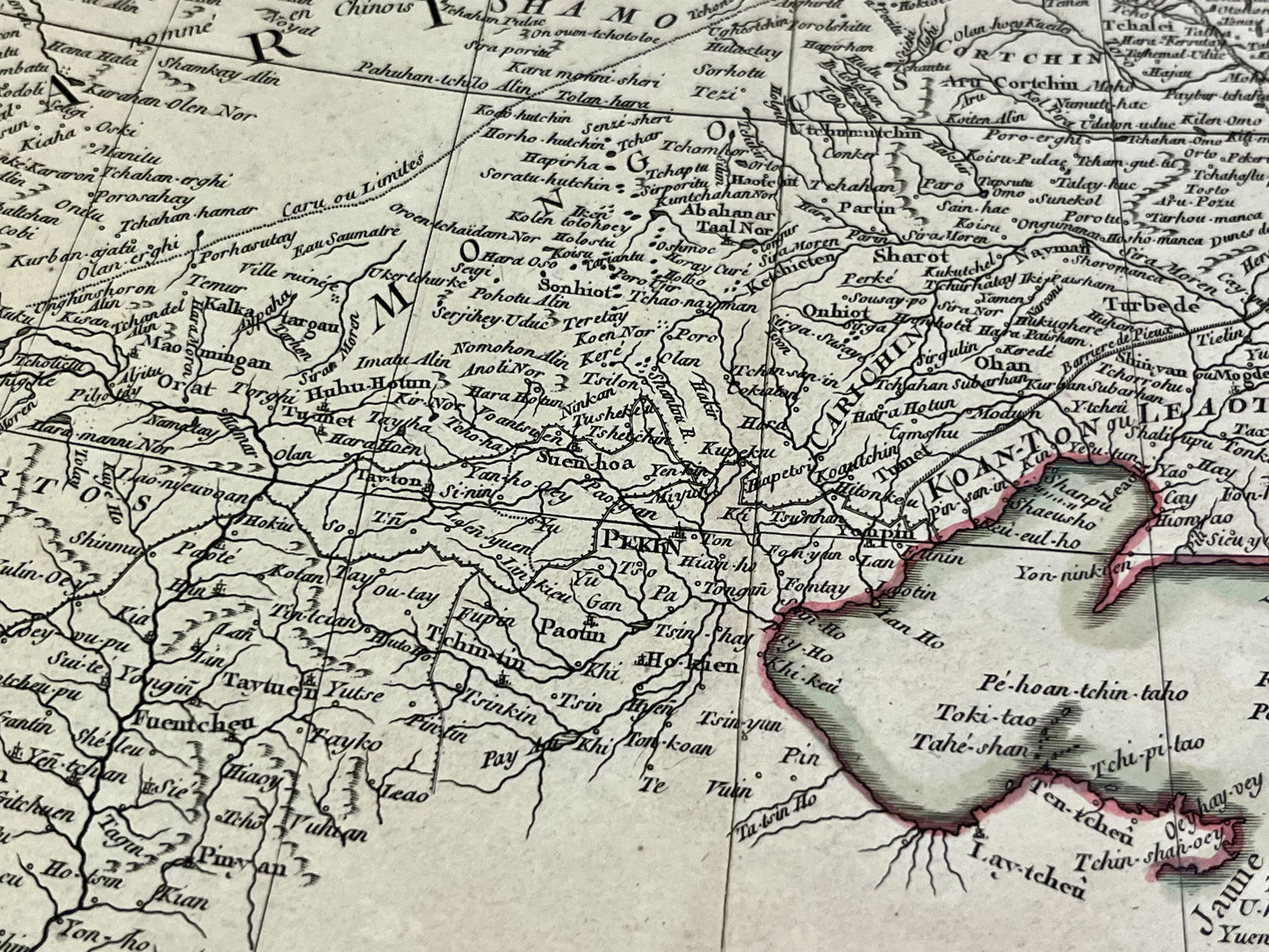
Antique map of Korea and Manchuria by R. Bonne - 1771
Antique map of Korea and Manchuria by R. Bonne - 1771
Regular price
180,00 €
Regular price
Sale price
180,00 €
Unit price
per
Taxes included.
Couldn't load pickup availability
This antique map of Asia depicting Northeast China and the Korean Peninsula was drawn by Rigobert Bonne in 1771. The dimensions of this map are 51x38.5cm.
Condition:
Good condition, minimal tears, central crease. Please note, my maps are old and not always in perfect condition!
Countries represented:
North Korea, South Korea, China


-

Secure payment
-

Careful shipping
-

No reproduction
-

Satisfied or refunded


-

“Hello, thank you for sending this, the cards are superb!”
Jean-Philippe
-
"They are very beautiful, just need to frame them! Thank you"
Baptiste
-
"Fast shipping and very good tracking."
Alice
-
"My husband loved the maps I gave him for Christmas!"
Solène
