


Antique map of Limousin by W. Blaeu - ca. 1640
Antique map of Limousin by W. Blaeu - ca. 1640
Couldn't load pickup availability
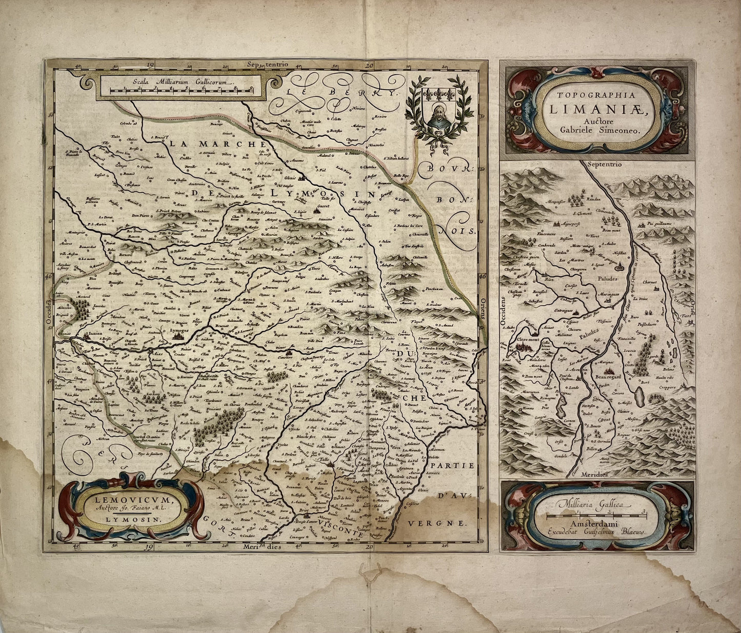
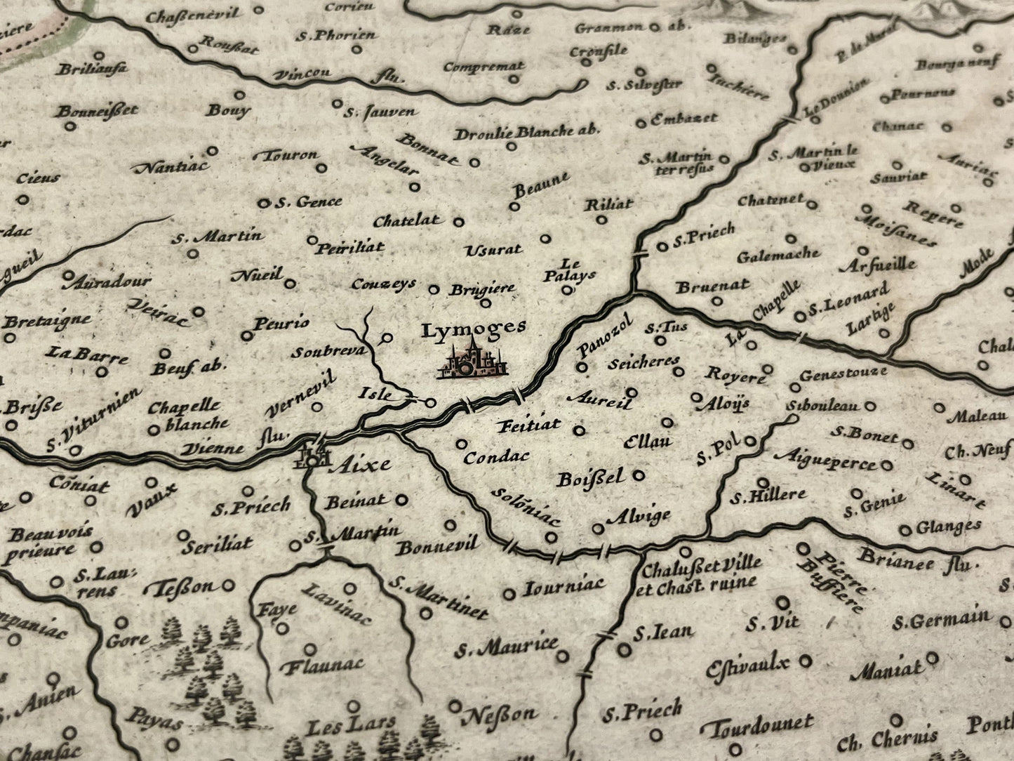
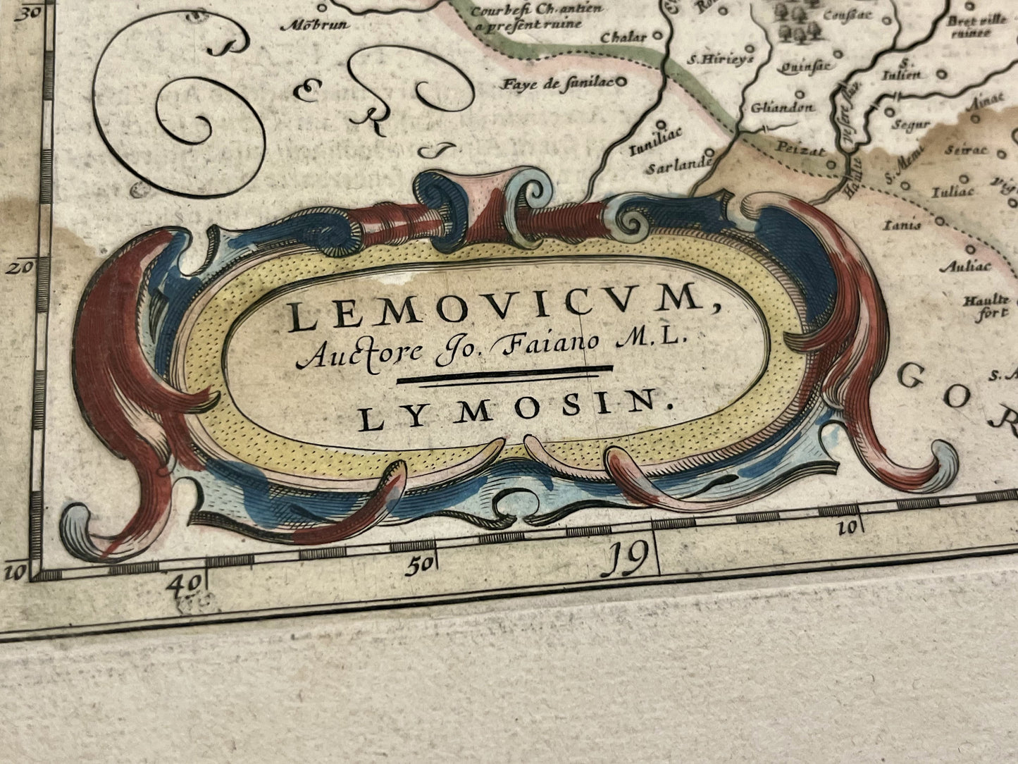
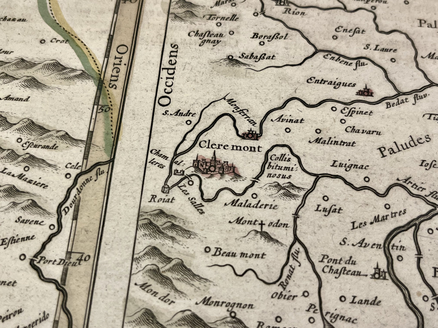
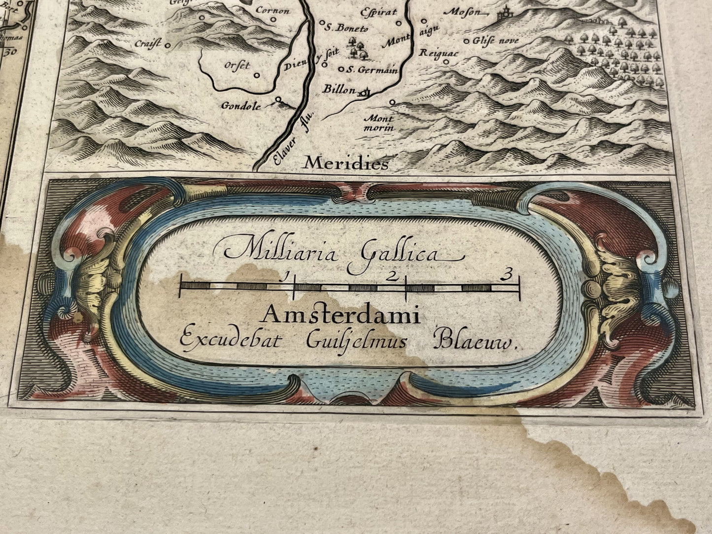
This antique map of Limousin dates from the mid-17th century and measures 58x49,5cm. It was published by the Dutch cartographer Willem Blaeu based on the work of G. Symeoni.
Condition:
Crease in the center and significant moisture stain on the lower part. Please note, my maps are old and are not always in perfect condition!
List of main cities represented:
Brive-la-Gaillarde, Limoges, Guéret, Clermont-Ferrand, Beauregard, Tulle, Eymoutiers, Saint-Junien,...
-

Secure payment
-

Careful shipping
-

No reproduction
-

Satisfied or refunded


-

“Hello, thank you for sending this, the cards are superb!”
Jean-Philippe
-
"They are very beautiful, just need to frame them! Thank you"
Baptiste
-
"Fast shipping and very good tracking."
Alice
-
"My husband loved the maps I gave him for Christmas!"
Solène
