


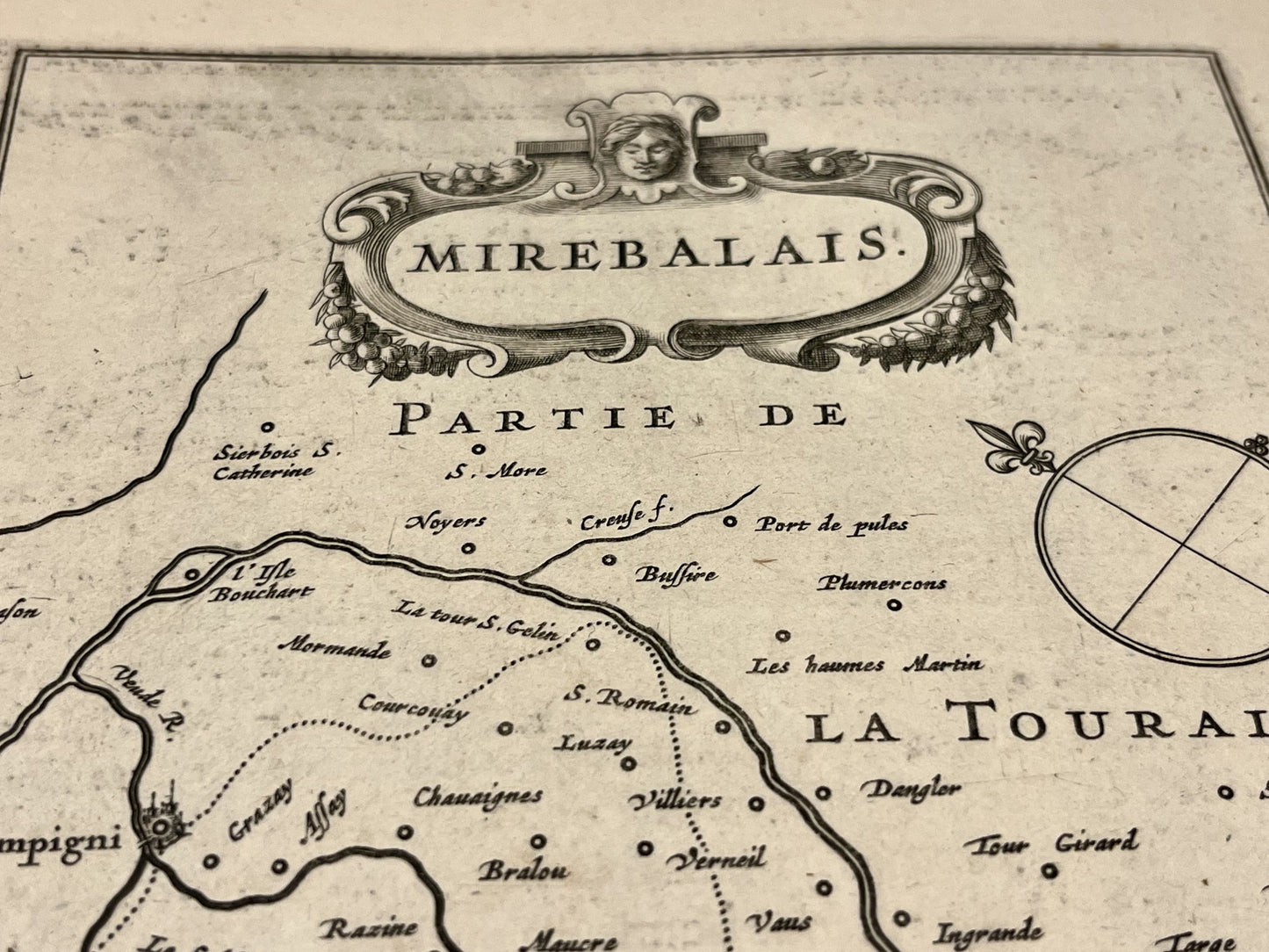
Antique map of Loudunais and Mirabelais by J. Janssonius - ca. 1640
Antique map of Loudunais and Mirabelais by J. Janssonius - ca. 1640
Couldn't load pickup availability
This antique map of Vienne, showing the surroundings of Loudun and Mirebeau, dates from the mid-17th century and measures 56x44cm. It was created by the Dutch cartographer J. Janssonius.
Condition:
Center crease and minimal tears on edges. Please note, my maps are old and are not always in perfect condition!
List of main cities represented:
Moncontour, Vouzailles, Loudun, Dissay, Châtellerault, Saumur, L'Île-Bouchard,...


-

Secure payment
-

Careful shipping
-

No reproduction
-

Satisfied or refunded


-

“Hello, thank you for sending this, the cards are superb!”
Jean-Philippe
-
"They are very beautiful, just need to frame them! Thank you"
Baptiste
-
"Fast shipping and very good tracking."
Alice
-
"My husband loved the maps I gave him for Christmas!"
Solène
