


Antique map of Madagascar by the Service Géographique de Madagascar - 1950
Antique map of Madagascar by the Service Géographique de Madagascar - 1950
Regular price
120,00 €
Regular price
Sale price
120,00 €
Unit price
per
Taxes included.
Couldn't load pickup availability
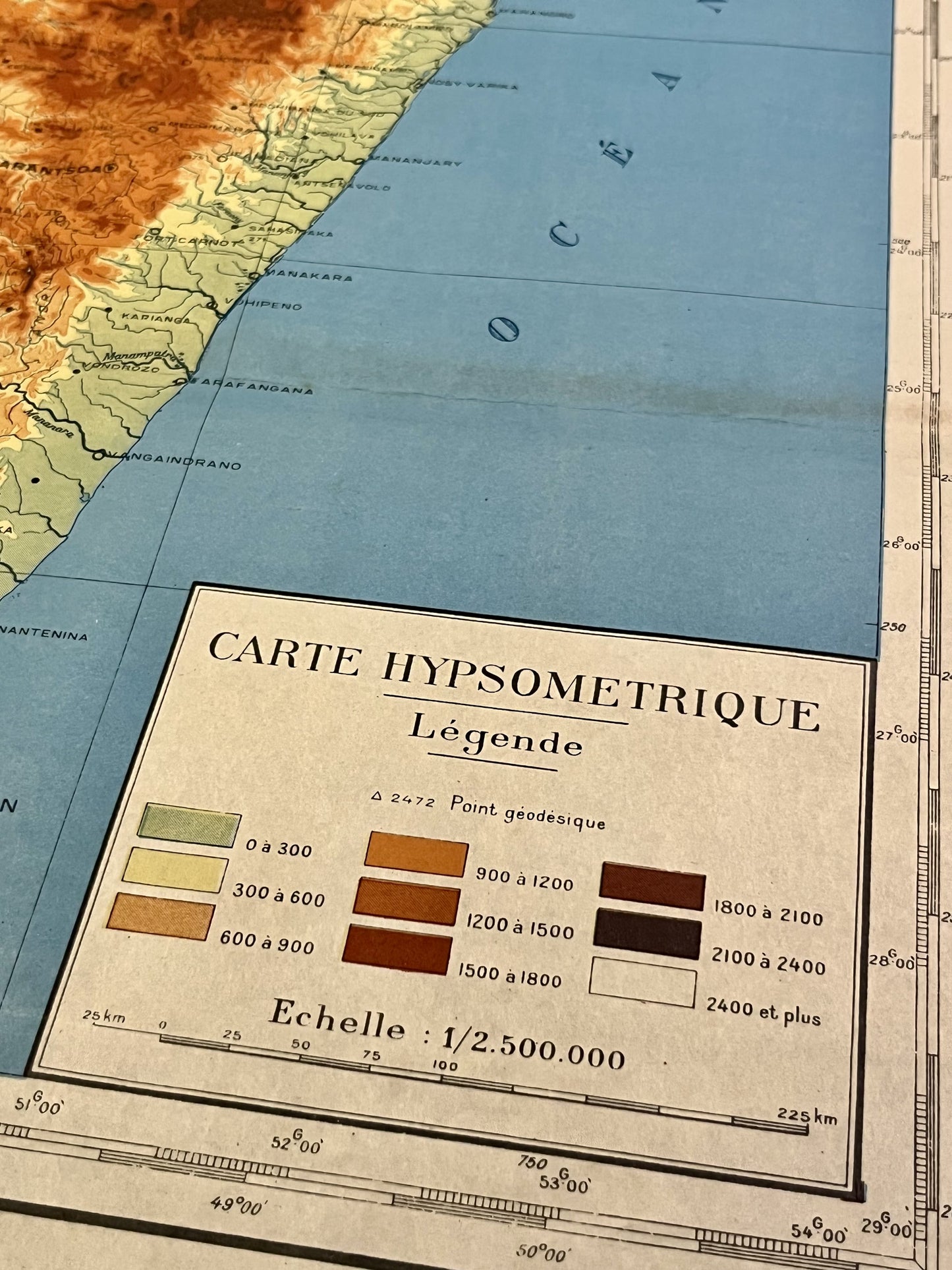
This antique map of Madagascar and the Comoros depicts the hypsometry of these islands. was produced by the Service Géographique de Madagascar in 1950 and its dimensions are 74x56cm.
Condition:
Good overall condition, creases. Please note, my maps are old and not always in perfect condition!


-

Secure payment
-

Careful shipping
-

No reproduction
-

Satisfied or refunded


-

“Hello, thank you for sending this, the cards are superb!”
Jean-Philippe
-
"They are very beautiful, just need to frame them! Thank you"
Baptiste
-
"Fast shipping and very good tracking."
Alice
-
"My husband loved the maps I gave him for Christmas!"
Solène
