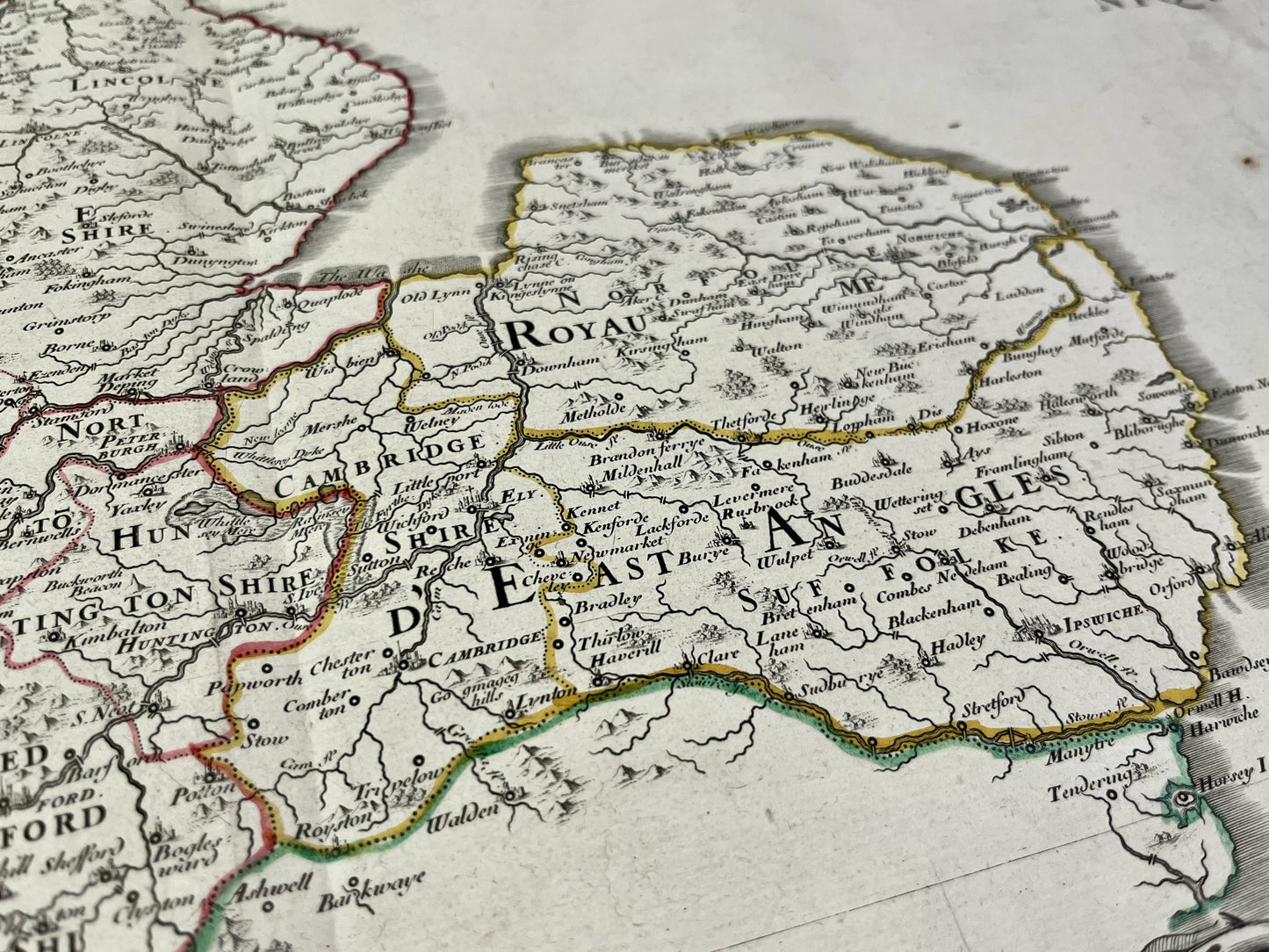
Antique map of the Kingdoms of Mercia and East Angles by N. Sanson - 1778
Antique map of the Kingdoms of Mercia and East Angles by N. Sanson - 1778
Regular price
120,00 €
Regular price
Sale price
120,00 €
Unit price
per
Taxes included.
Couldn't load pickup availability
This antique map of England depicting the Kingdoms of Mercia and East Angles was produced by Nicolas Sanson d'Abbeville and published within the Atlas Britannique by his great-grandson, Didier Robert de Vaugondy, in 1778. Its dimensions are 66.5x49.5cm.
Condition:
Center crease and moisture stains. Please note, my maps are old and are not always in perfect condition!


