


Antique map of the Mont-Tonnerre department by PG Chanlaire - ca. 1820
Antique map of the Mont-Tonnerre department by PG Chanlaire - ca. 1820
Couldn't load pickup availability
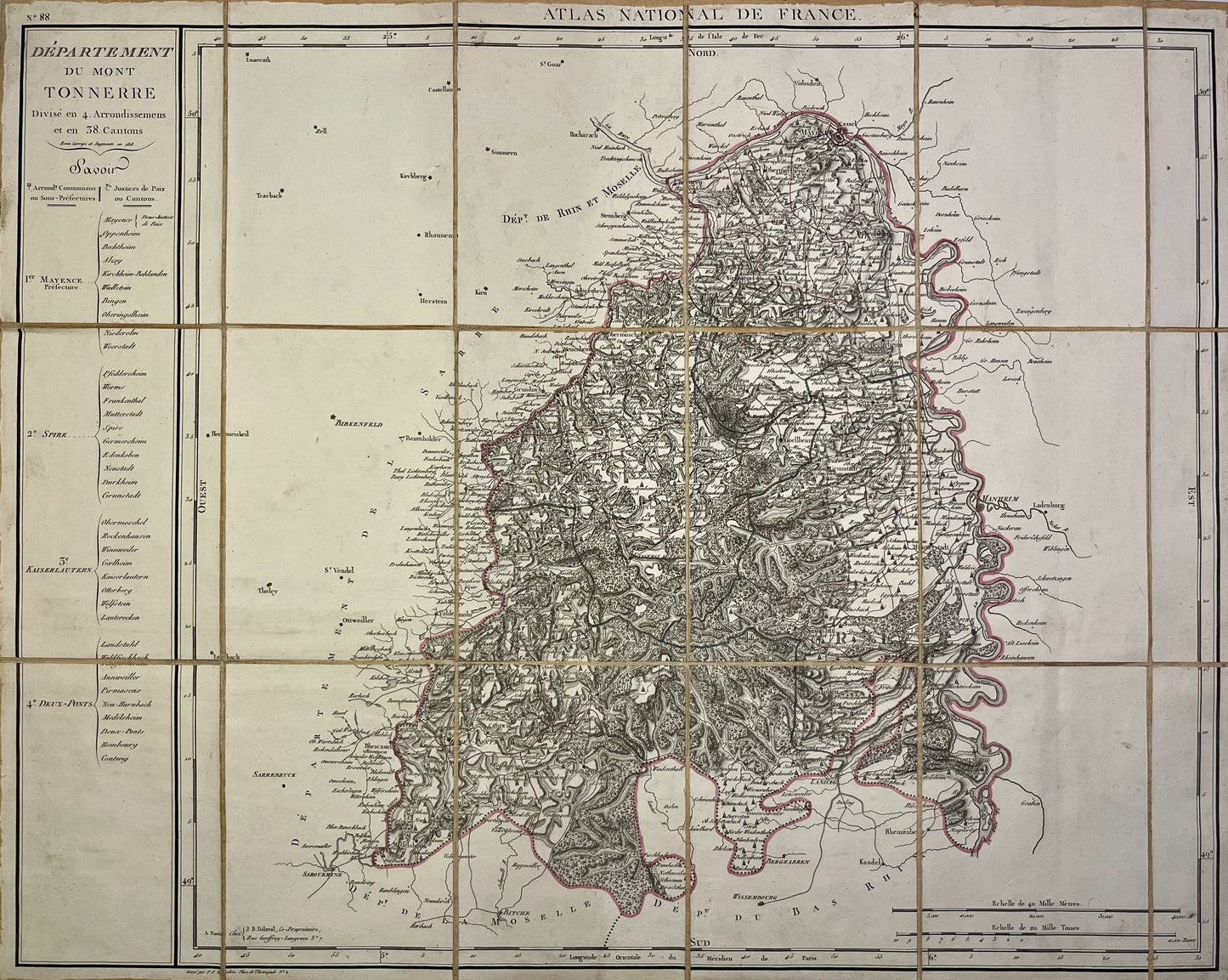
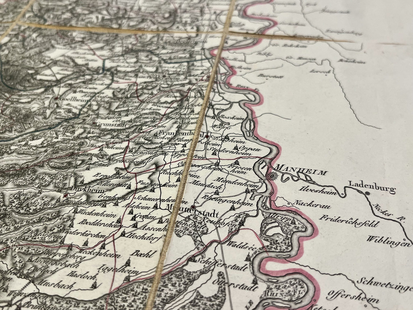
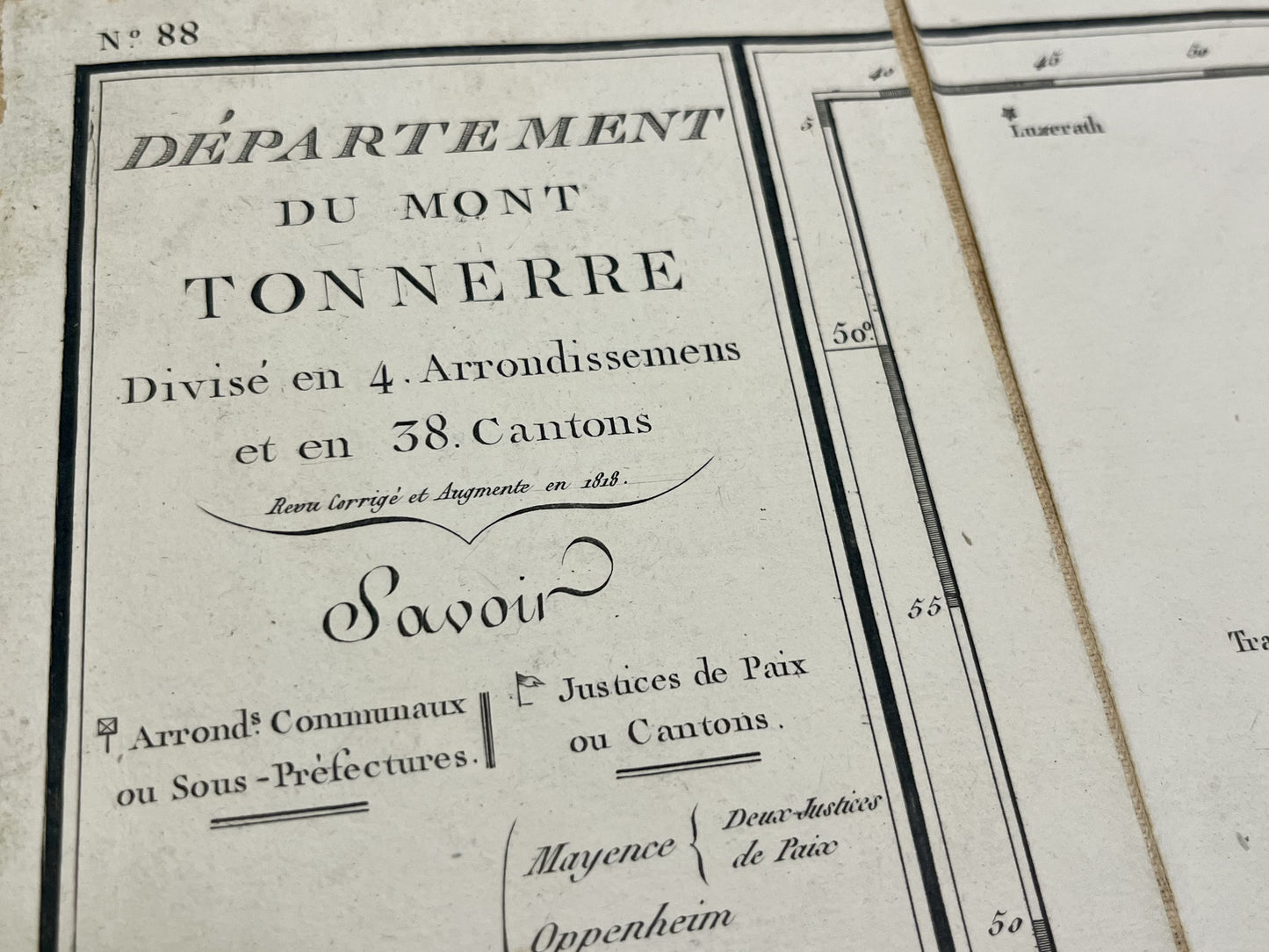
This antique map of Germany, depicting the First Empire department of Mont-Tonnerre, is canvas-backed and was created by the French geographer Pierre-Gilles Chanlaire in the early 19th century. It is from the Atlas National de France and measures 67.5x54cm.
Condition:
Very good condition. Please note, my maps are old and not always in perfect condition!
List of main cities represented:
Mainz, Mannheim,...
-

Secure payment
-

Careful shipping
-

No reproduction
-

Satisfied or refunded


-

“Hello, thank you for sending this, the cards are superb!”
Jean-Philippe
-
"They are very beautiful, just need to frame them! Thank you"
Baptiste
-
"Fast shipping and very good tracking."
Alice
-
"My husband loved the maps I gave him for Christmas!"
Solène
