


Antique map of Nieuport - Belgium - by V. de Plouich - ca. 1640
Antique map of Nieuport - Belgium - by V. de Plouich - ca. 1640
Regular price
220,00 €
Regular price
Sale price
220,00 €
Unit price
per
Taxes included.
Couldn't load pickup availability
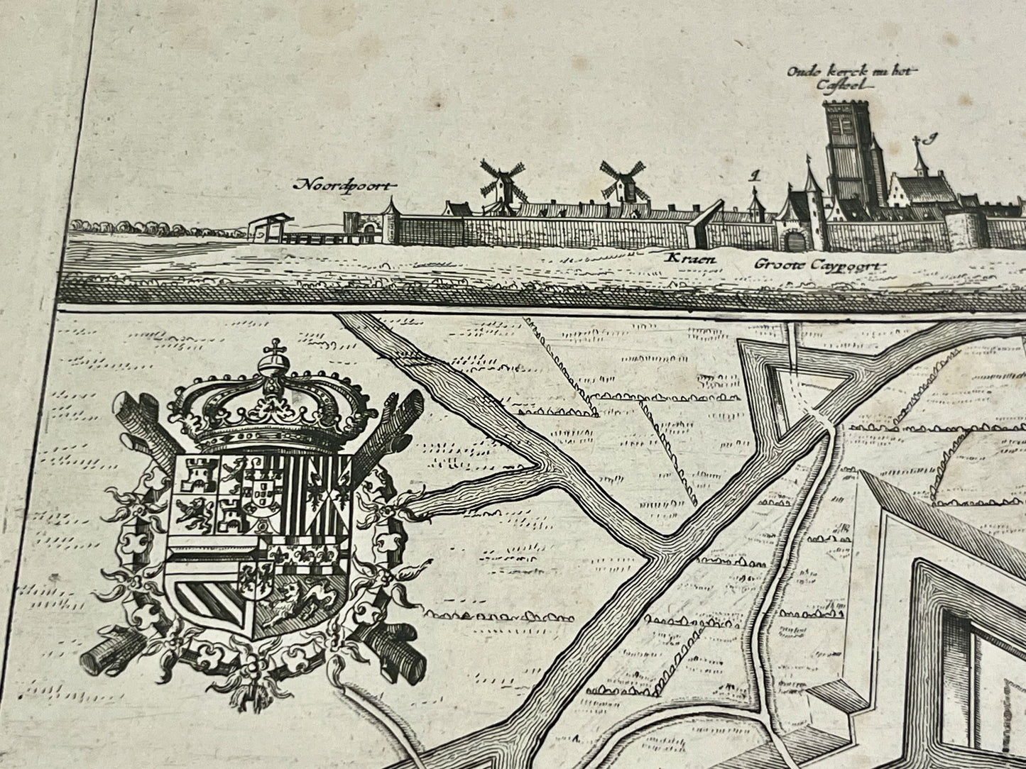
This antique map of Belgium, depicting the town of Nieuport in great detail, dates from the mid-17th century. It was drawn up by the cartographer Vedastus de Plouich and its dimensions are 61.5x51.5cm.
Condition:
Central crease, minor tear at the top, minor stains. Please note, my maps are old and not always in perfect condition!


-

Secure payment
-

Careful shipping
-

No reproduction
-

Satisfied or refunded


-

“Hello, thank you for sending this, the cards are superb!”
Jean-Philippe
-
"They are very beautiful, just need to frame them! Thank you"
Baptiste
-
"Fast shipping and very good tracking."
Alice
-
"My husband loved the maps I gave him for Christmas!"
Solène
