


Antiue map of the Nivernais region by H. Hondius - ca. 1630
Antiue map of the Nivernais region by H. Hondius - ca. 1630
Couldn't load pickup availability
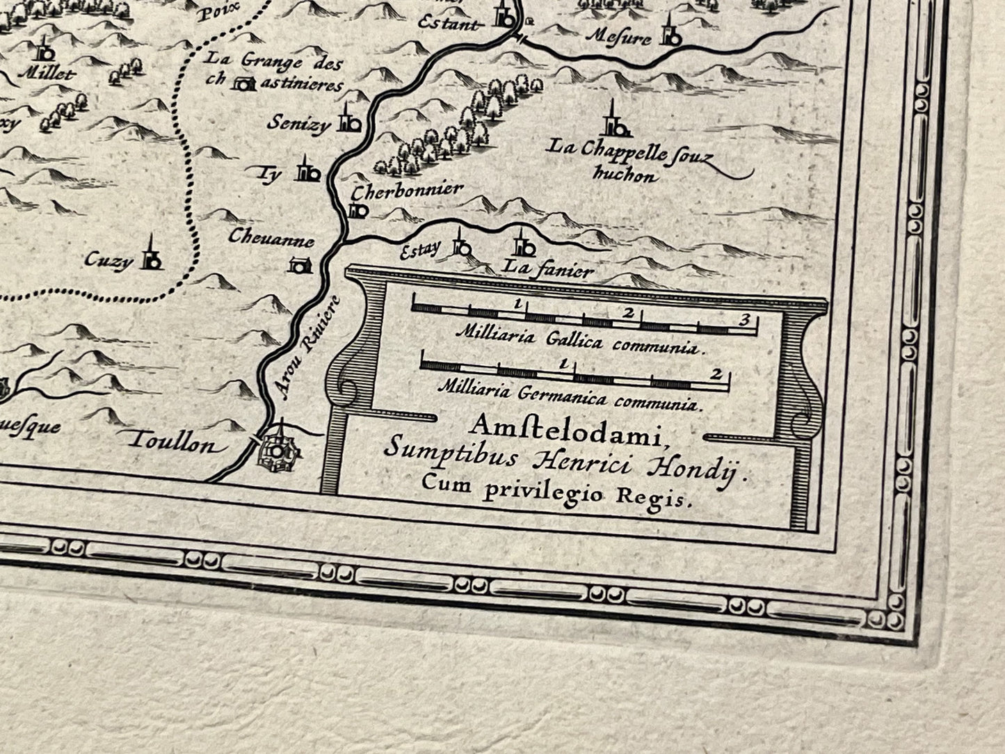
This antique map of the Nivernais, a historical region roughly corresponding to the Nièvre department, was created and published by the Dutch cartographer and publisher H. Hondius in the mid-17th century. Its dimensions are 56x48cm.
Condition:
Central fold and wavy paper. Please note, my maps are old and not always in perfect condition!
Main cities represented:
Nevers, La Charité-sur-Loire, Sancerre, Cosne-Cours-sur-Loire, Moulins-Engilbert, Châtillon-en-Bazois, Prémery, Corbigny, Lormes, Château-Chinon, Clamecy, Varzy, Donzy, Tannay,


-

Secure payment
-

Careful shipping
-

No reproduction
-

Satisfied or refunded


-

“Hello, thank you for sending this, the cards are superb!”
Jean-Philippe
-
"They are very beautiful, just need to frame them! Thank you"
Baptiste
-
"Fast shipping and very good tracking."
Alice
-
"My husband loved the maps I gave him for Christmas!"
Solène
