


Antique map of North America by J. Janvier - 1762
Antique map of North America by J. Janvier - 1762
Couldn't load pickup availability
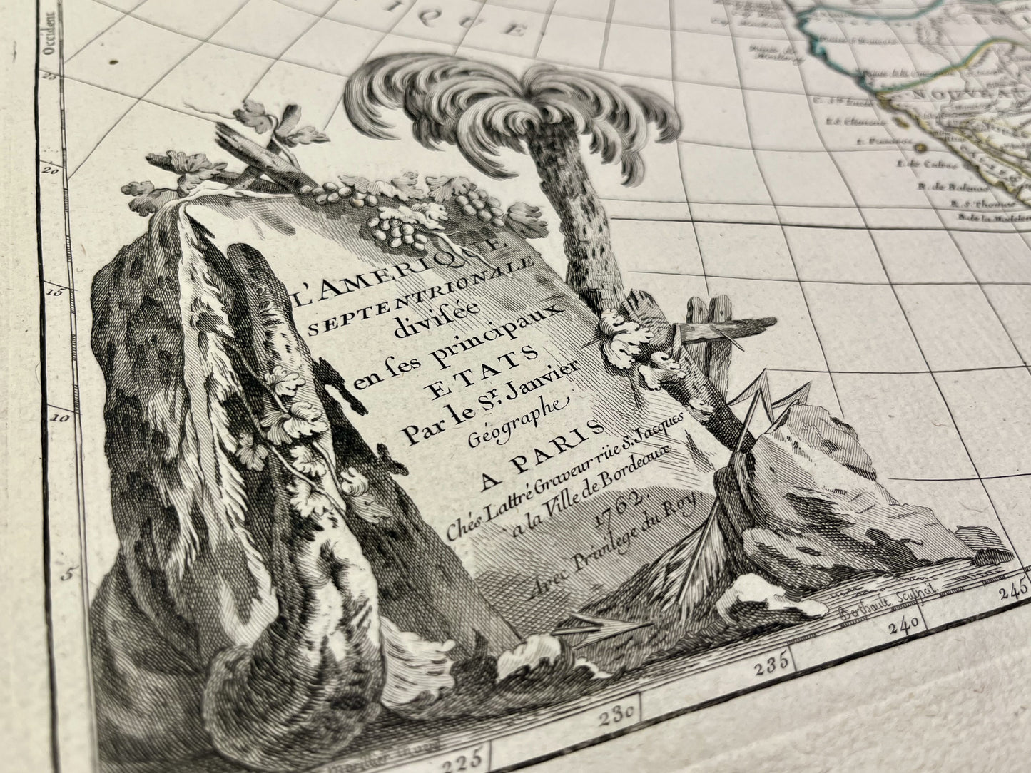
This antique map of North America shows the emblematic places of the continent at the time such as Louisiana, Florida, the Caribbean, and Canada. It was drawn up by J. Janvier and published by J. Lattré in 1762. The size of this map is 56x39cm.
Condition:
Very good condition, stains, central fold. Please note, my maps are old and are not always in perfect condition!
List of countries represented:
United States, Canada, Mexico, Cuba,...


-

Secure payment
-

Careful shipping
-

No reproduction
-

Satisfied or refunded


-

“Hello, thank you for sending this, the cards are superb!”
Jean-Philippe
-
"They are very beautiful, just need to frame them! Thank you"
Baptiste
-
"Fast shipping and very good tracking."
Alice
-
"My husband loved the maps I gave him for Christmas!"
Solène
