


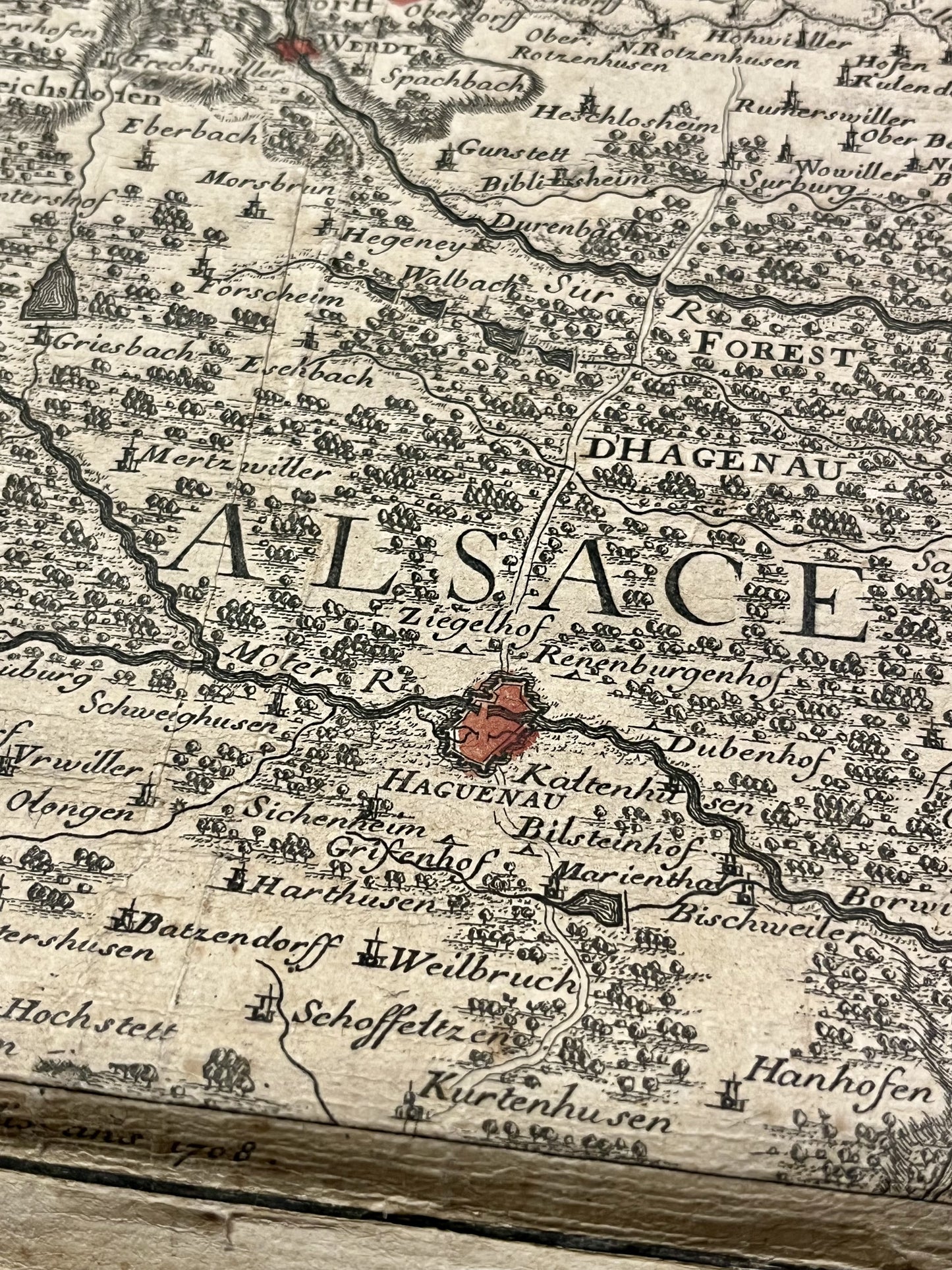
Antique map of the Palatinate of the Rhine and Lower Alsace by G. Baillieul - 1708
Antique map of the Palatinate of the Rhine and Lower Alsace by G. Baillieul - 1708
Couldn't load pickup availability
This antique map straddling Germany and the Bas-Rhin was drawn by the French cartographer Gaspard Baillieul in 1708. Linen-backed, it is a combination of two maps and its total dimensions are 93x62cm.
Condition:
Stains and creases. Please note, my maps are old and not always in perfect condition!
List of the main cities represented:
Haguenau, Ingwiller, Bouxwiller, Bitche, Wissembourg, Seltz, Lauterbourg, Landau, Kaiserslautern, Mannheim, Worms, Mainz,...


-

Secure payment
-

Careful shipping
-

No reproduction
-

Satisfied or refunded


-

“Hello, thank you for sending this, the cards are superb!”
Jean-Philippe
-
"They are very beautiful, just need to frame them! Thank you"
Baptiste
-
"Fast shipping and very good tracking."
Alice
-
"My husband loved the maps I gave him for Christmas!"
Solène
