


Antique map of Passendale - Belgium - by J. Blaeu - ca. 1650
Antique map of Passendale - Belgium - by J. Blaeu - ca. 1650
Couldn't load pickup availability
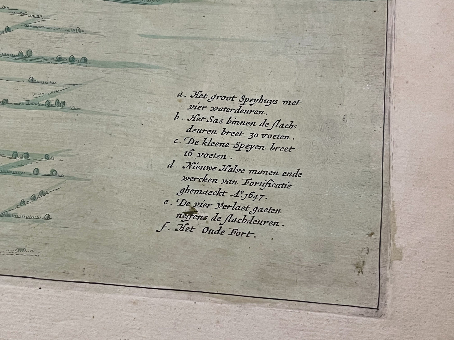
This antique map of Belgium, depicting the village of Passendale - Plasschendaele - in great detail, dates from the middle of the 17th century. It was drawn by A. Villegas and published by the Dutch cartographer Joan Blaeu. Its dimensions are 63.5x52.5cm. Magnificent period colours.
Condition:
Fragile central fold, tears on the edges, minor stains. Please note, my maps are old and not always in perfect condition!


-

Secure payment
-

Careful shipping
-

No reproduction
-

Satisfied or refunded


-

“Hello, thank you for sending this, the cards are superb!”
Jean-Philippe
-
"They are very beautiful, just need to frame them! Thank you"
Baptiste
-
"Fast shipping and very good tracking."
Alice
-
"My husband loved the maps I gave him for Christmas!"
Solène
