


Antique map of Périgord by J. Janssonius - ca. 1650
Antique map of Périgord by J. Janssonius - ca. 1650
Couldn't load pickup availability
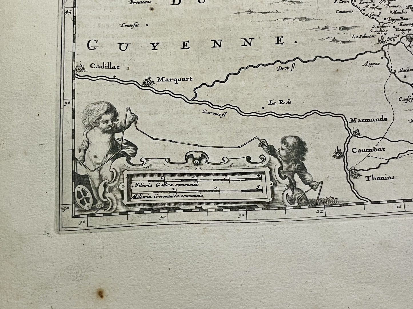
This antique map of Périgord dates from the mid-17th century and measures 56.5x48cm. It was created by the Dutch cartographer J. Janssonius.
Condition:
Central crease, minor stains and warped paper. Please note, my maps are old and not always in perfect condition!
Main cities represented:
Libourne, Sainte-Foy-la-Grande, Mussidan, Bergerac, Issigeac, Eymet, Marmande, Lalinde, Périgueux, Sarlat-la-Canéda, Beaumontois-en-Périgord, Gourdon, Montignac-Lascaux, Terrasson-Lavilledieu, Brive-la-Gaillarde, Villeréal, Biron,...


-

Secure payment
-

Careful shipping
-

No reproduction
-

Satisfied or refunded


-

“Hello, thank you for sending this, the cards are superb!”
Jean-Philippe
-
"They are very beautiful, just need to frame them! Thank you"
Baptiste
-
"Fast shipping and very good tracking."
Alice
-
"My husband loved the maps I gave him for Christmas!"
Solène
