


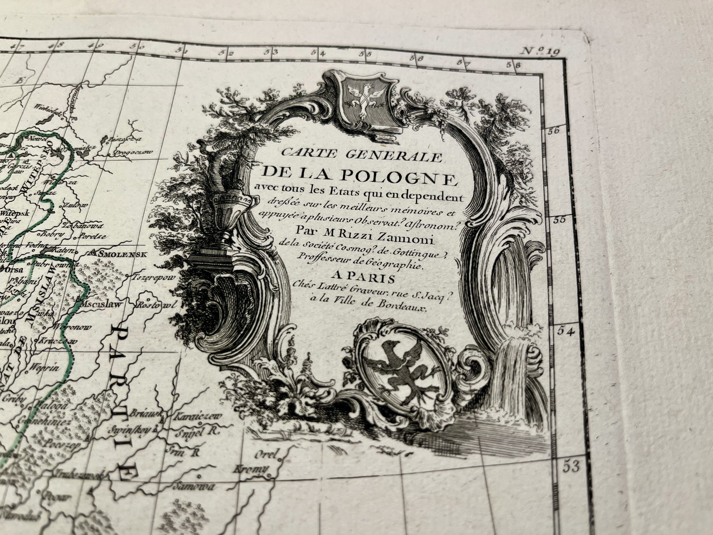
Antique map of Poland by GA. Rizzi-Zannoni - ca. 1770
Antique map of Poland by GA. Rizzi-Zannoni - ca. 1770
Regular price
160,00 €
Regular price
Sale price
160,00 €
Unit price
per
Taxes included.
Couldn't load pickup availability
This antique map of Poland shows the country from the Russian border to the Baltic Sea. It was drawn by GA. Rizzi-Zannoni and published by J. Lattré at the end of the 18th century. The size of this map is 56x39cm.
Condition:
Very good condition, minimal stains, central crease. Please note, my maps are old and are not always in perfect condition!


-

Secure payment
-

Careful shipping
-

No reproduction
-

Satisfied or refunded


-

“Hello, thank you for sending this, the cards are superb!”
Jean-Philippe
-
"They are very beautiful, just need to frame them! Thank you"
Baptiste
-
"Fast shipping and very good tracking."
Alice
-
"My husband loved the maps I gave him for Christmas!"
Solène
