


Antique map of Rhineland-Palatinate by J. Janssonius - ca. 1630
Antique map of Rhineland-Palatinate by J. Janssonius - ca. 1630
Couldn't load pickup availability
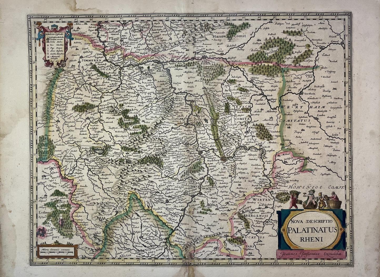
This antique map of Germany, depicting part of present-day Rhineland-Palatinate, dates from the mid-17th century and measures 57x42cm. It was published by the Dutch cartographer Joannes Janssonius.
Condition:
Center crease, moisture stains and repairs. Please note, my maps are old and are not always in perfect condition!
List of main cities represented:
Heidelberg, Mannheim, Frankfurt, Mainz, Kaiserskautern,...


-

Secure payment
-

Careful shipping
-

No reproduction
-

Satisfied or refunded


-

“Hello, thank you for sending this, the cards are superb!”
Jean-Philippe
-
"They are very beautiful, just need to frame them! Thank you"
Baptiste
-
"Fast shipping and very good tracking."
Alice
-
"My husband loved the maps I gave him for Christmas!"
Solène
