


Antique map of Lyonnais and southern Burgundy by G. Robert de Vaugondy - 1752
Antique map of Lyonnais and southern Burgundy by G. Robert de Vaugondy - 1752
Couldn't load pickup availability
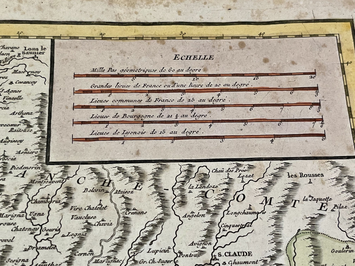
This antique map of southern Burgundy and Lyonnais partly covers the current departments of Saône-et-Loire, Rhône, Ain and Loire. It was drawn up and published by Gilles Robert de Vaugondy in 1752. Its dimensions are 63.5x50.5cm. Magnificent period colors.
Condition:
Center crease and stains. Please note, my maps are old and are not always in perfect condition!
List of main cities represented:
Lyon, Saint-Etienne, Vienne, Montbrison, Saint-Chamond, Feurs, Saint-Germain-Laval, Roanne, Saint-Symphorien-de-Lay, Amplepuis, Villefranche-sur-Saône, Beaujeu, Semur-en-Brionnais, Bourbon-Lancy, Mâcon, Montmerle-sur-Saône, Tournus, Bourg-en-Bresse, Charolles,...
List of former regions represented:
Mâconnais, Bresse, Bugey, Lyonnais, Forez, Beaujolais


-

Secure payment
-

Careful shipping
-

No reproduction
-

Satisfied or refunded


-

“Hello, thank you for sending this, the cards are superb!”
Jean-Philippe
-
"They are very beautiful, just need to frame them! Thank you"
Baptiste
-
"Fast shipping and very good tracking."
Alice
-
"My husband loved the maps I gave him for Christmas!"
Solène
