


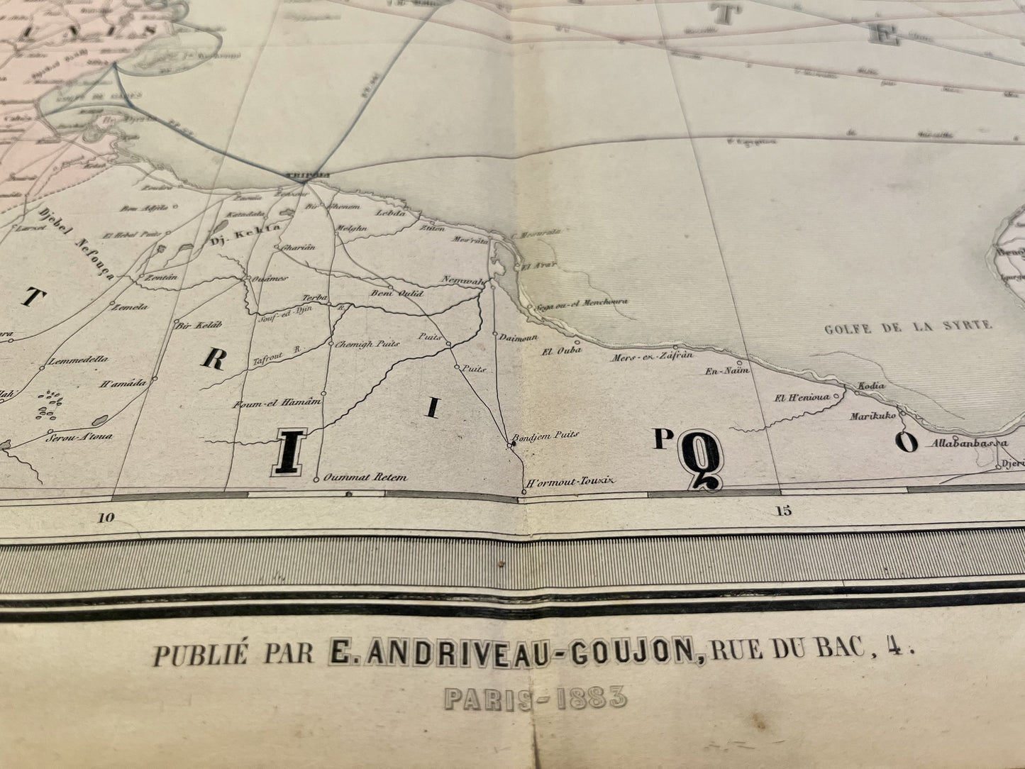
Antique map of steam navigation in the Mediterranean by E. Andriveau-Goujon - 1883
Antique map of steam navigation in the Mediterranean by E. Andriveau-Goujon - 1883
Regular price
140,00 €
Regular price
Sale price
140,00 €
Unit price
per
Taxes included.
Couldn't load pickup availability
This antique map of Europe and the Mediterranean basin showing steam navigation routes and railways was published by E. Andriveau-Goujon in 1883 and its dimensions are 102x70cm.
Condition:
Stains, center fold and minimal tears on the edges. Please note, my maps are old and are not always in perfect condition!


-

Secure payment
-

Careful shipping
-

No reproduction
-

Satisfied or refunded


-

“Hello, thank you for sending this, the cards are superb!”
Jean-Philippe
-
"They are very beautiful, just need to frame them! Thank you"
Baptiste
-
"Fast shipping and very good tracking."
Alice
-
"My husband loved the maps I gave him for Christmas!"
Solène
