


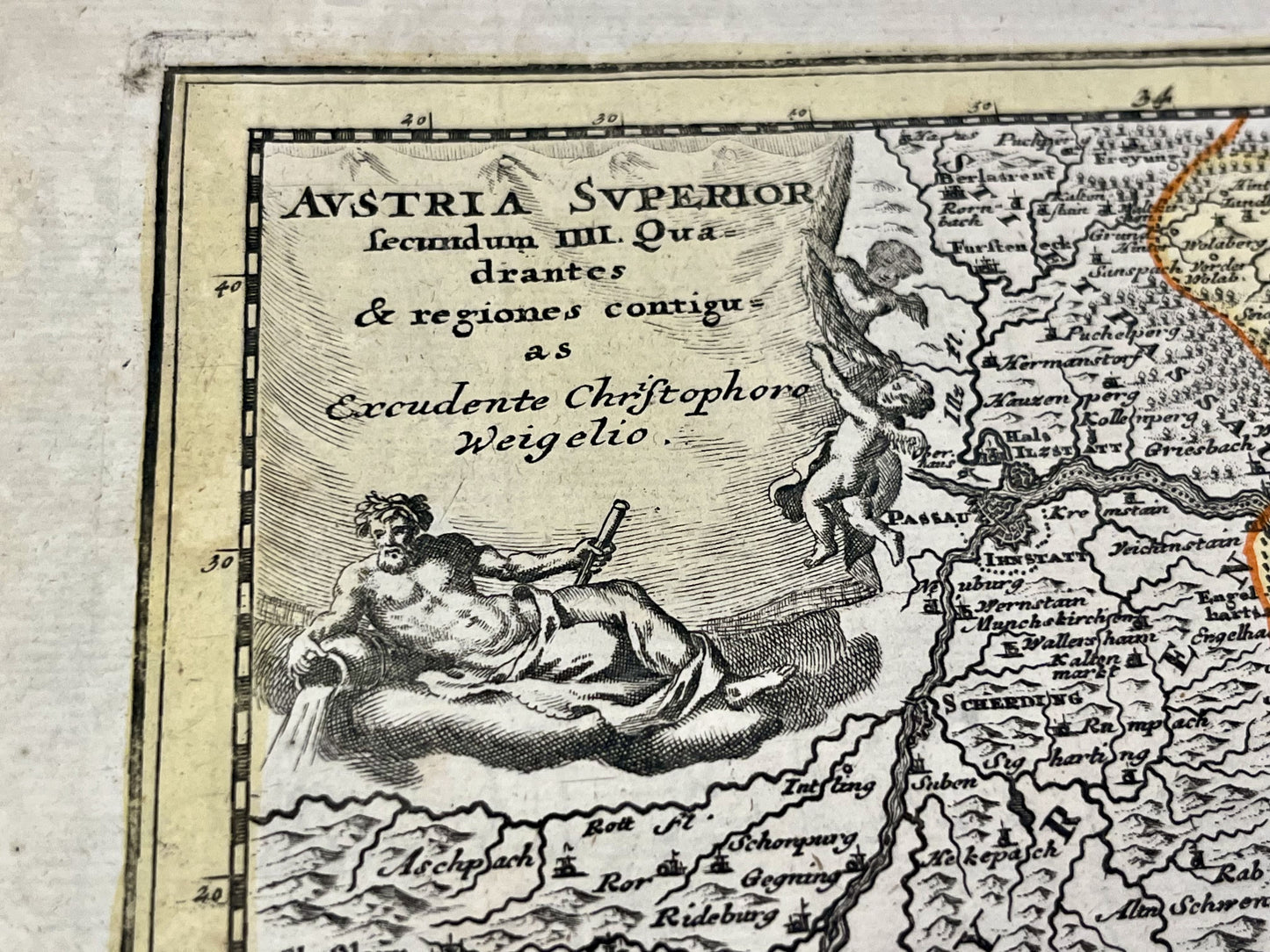
Antique map of Upper Austria by C. Weigel - ca. 1720
Antique map of Upper Austria by C. Weigel - ca. 1720
Regular price
100,00 €
Regular price
Sale price
100,00 €
Unit price
per
Taxes included.
Couldn't load pickup availability
This antique map of Austria was created by the German cartographer Christoph Weigel in the early 18th century. The map measures 44.5x36cm.
Condition:
Minor stains, central crease, minor tear on the lower part of it. Please note, my maps are old and not always in perfect condition!


-

Secure payment
-

Careful shipping
-

No reproduction
-

Satisfied or refunded


-

“Hello, thank you for sending this, the cards are superb!”
Jean-Philippe
-
"They are very beautiful, just need to frame them! Thank you"
Baptiste
-
"Fast shipping and very good tracking."
Alice
-
"My husband loved the maps I gave him for Christmas!"
Solène
