


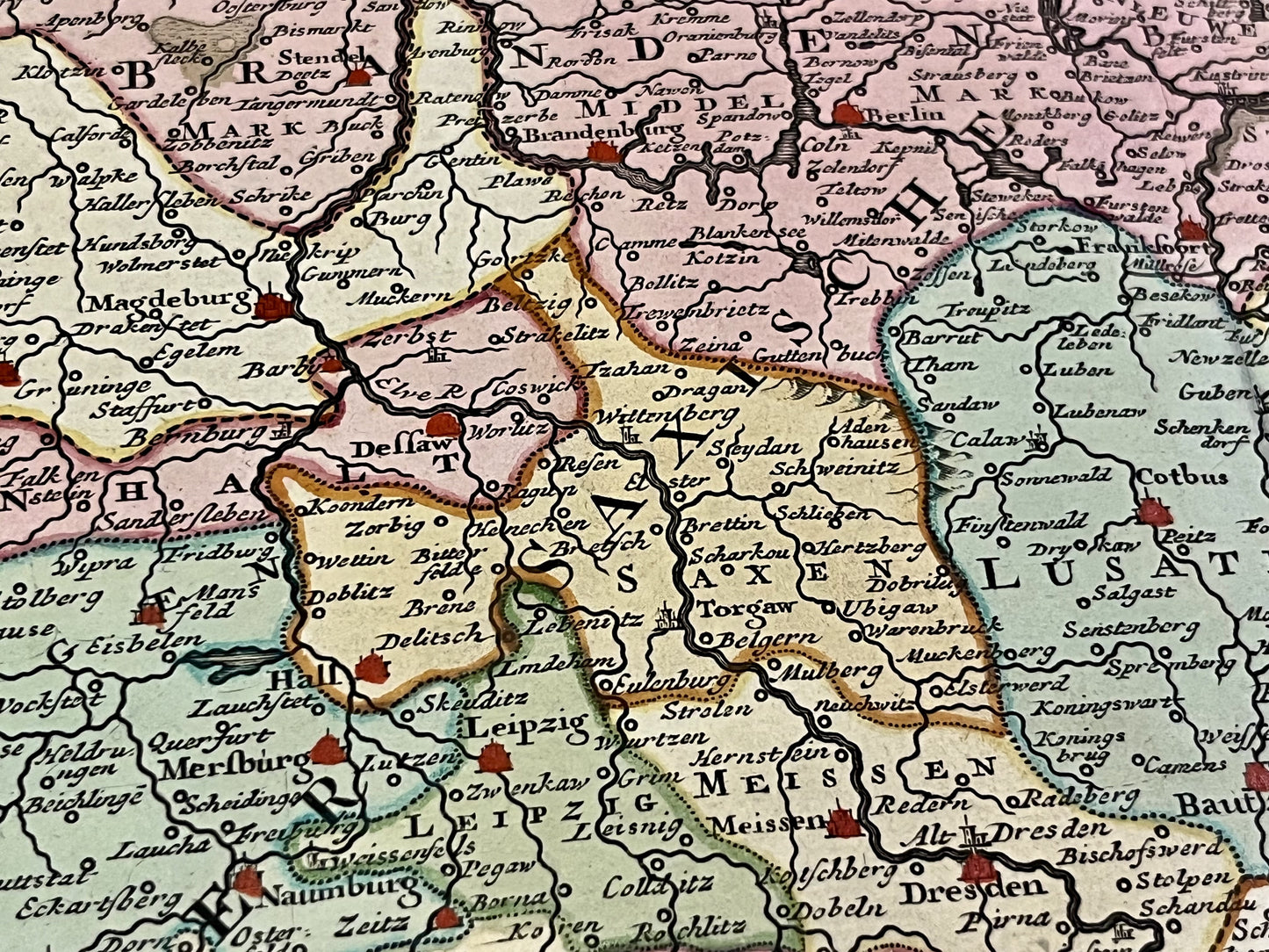
Antique map of the Upper Saxon Circle by I. Tirion - ca. 1750
Antique map of the Upper Saxon Circle by I. Tirion - ca. 1750
Couldn't load pickup availability
This antique map straddling Germany and Poland, depicting the Upper Saxon Circle, was created by the cartographer Dutch artist Isaak Tirion. Its dimensions are 54x42cm. Magnificent period colours.
Condition:
Good condition, central crease, minor tear at the edge. Please note, my maps are old and are not always in perfect condition!
Main cities represented:
Rostock, Greifswald, Kolobrzeg, Koszalin, Ustka, Slupsk, Szczecin, Stargard, Neubrandenburg, Brandenburg, Berlin, Frankfurt, Cottbus, Magdeburg, Bautzen, Dresden, Leipzig,...


-

Secure payment
-

Careful shipping
-

No reproduction
-

Satisfied or refunded


-

“Hello, thank you for sending this, the cards are superb!”
Jean-Philippe
-
"They are very beautiful, just need to frame them! Thank you"
Baptiste
-
"Fast shipping and very good tracking."
Alice
-
"My husband loved the maps I gave him for Christmas!"
Solène
