


Antique map of Vermandois and the Government of La Capelle by J. Blaeu - ca. 1660
Antique map of Vermandois and the Government of La Capelle by J. Blaeu - ca. 1660
Couldn't load pickup availability
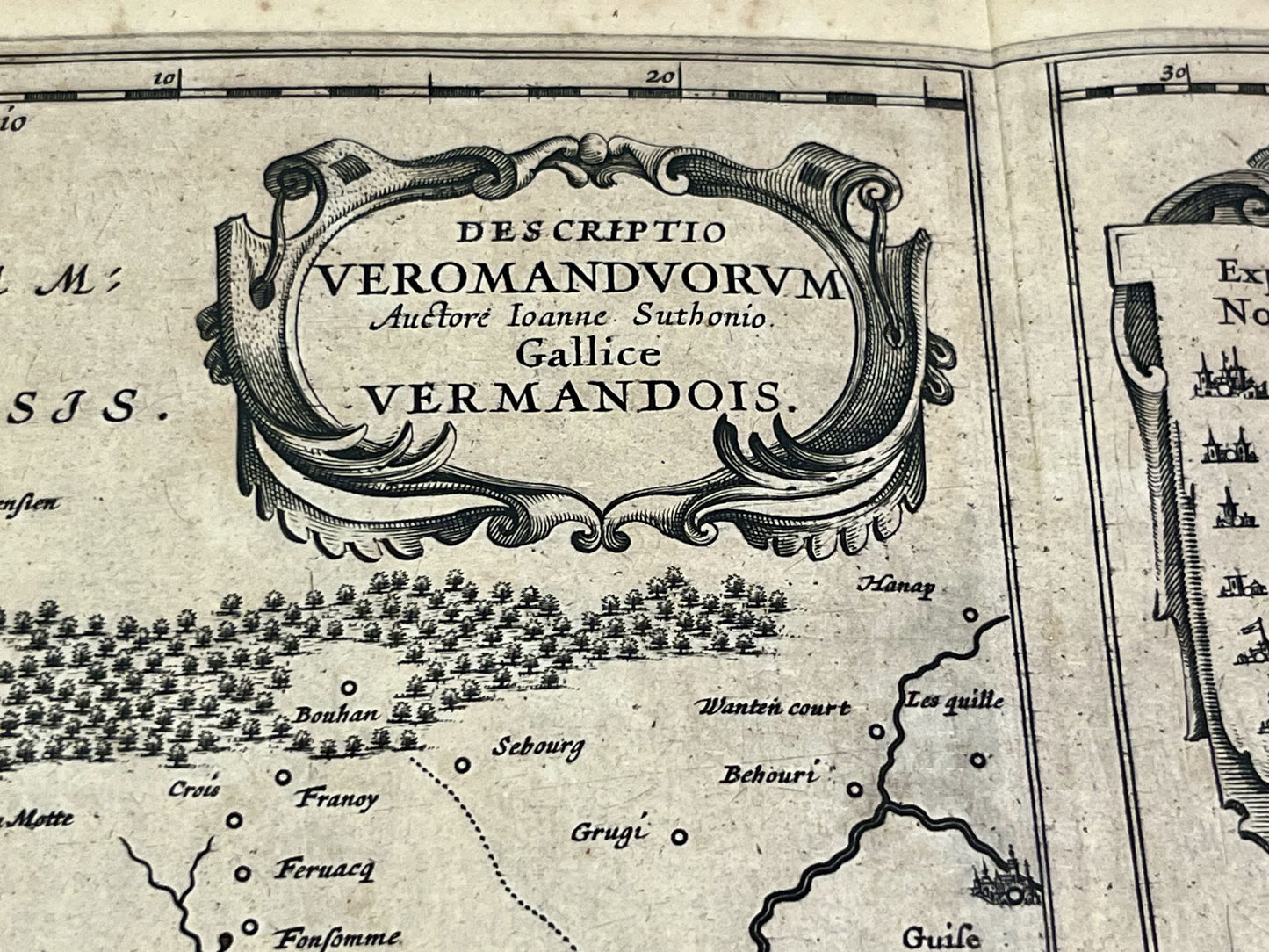
This antique map of Aisne, showing the Vermandois and the Government of La Capelle, dates from the mid-17th century and measures 56x44cm. It was created by the Dutch cartographers Blaeu.
Condition:
Center crease, minimal staining and minimal tears on the map's edges. Please note, my maps are old and are not always in perfect condition!
List of main cities represented:
Marle, Vervins, Aubenton, Hirson, la Capelle, Guise, la Fère, Chauny, Noyon, Ham, Saint-Quentin, Péronne, Nesle,...


-

Secure payment
-

Careful shipping
-

No reproduction
-

Satisfied or refunded


-

“Hello, thank you for sending this, the cards are superb!”
Jean-Philippe
-
"They are very beautiful, just need to frame them! Thank you"
Baptiste
-
"Fast shipping and very good tracking."
Alice
-
"My husband loved the maps I gave him for Christmas!"
Solène
