


Antique map of the Viscounty of Turenne by Mr. du Bac - ca. 1640
Antique map of the Viscounty of Turenne by Mr. du Bac - ca. 1640
Couldn't load pickup availability
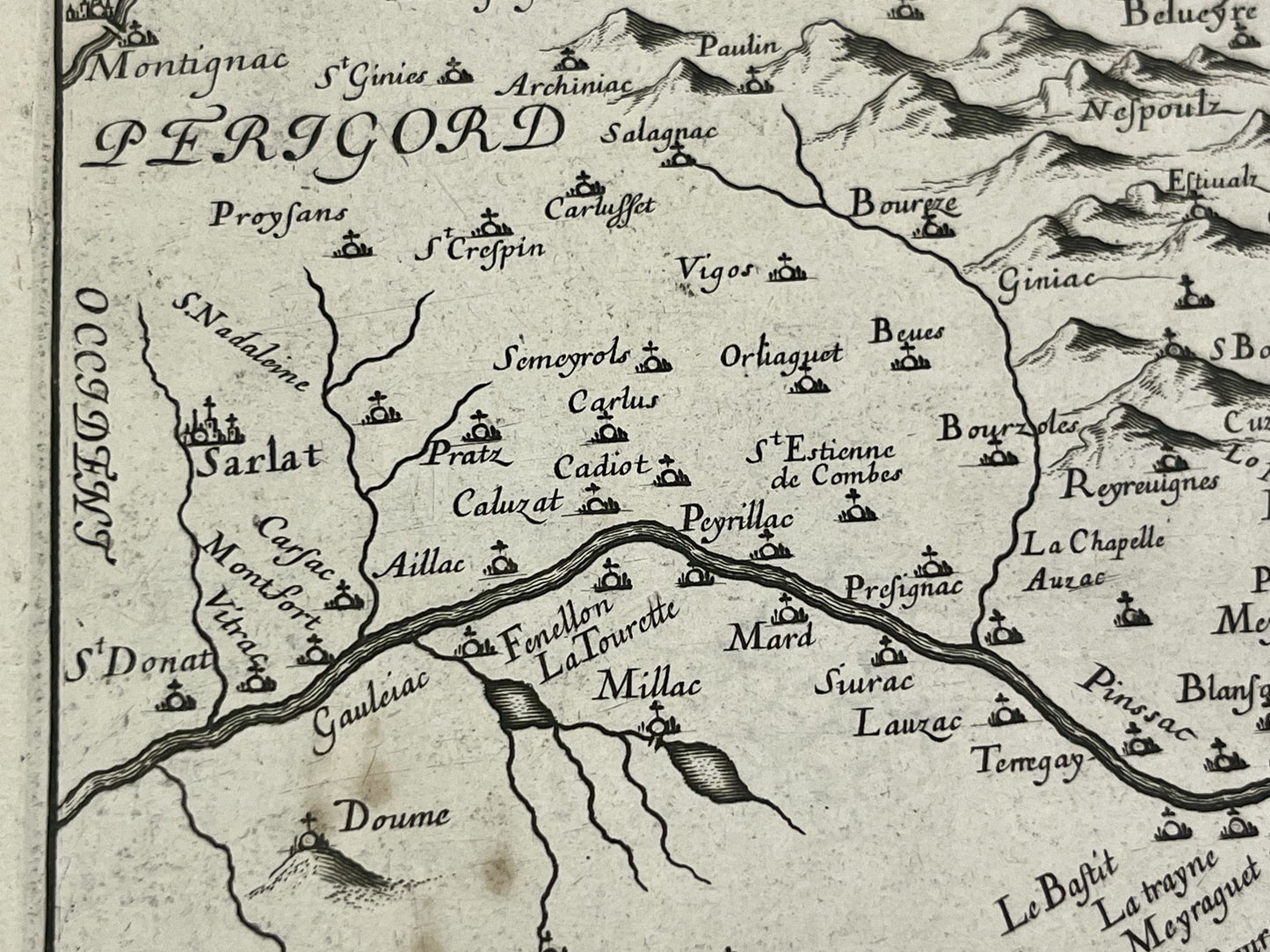
This antique map of the Viscounty of Turenne, a territory straddling the Corrèze, Dordogne, and Lot departments, was drawn by a little-known cartographer named Sieur du Bac in the mid-17th century. Published by Michel Vanlochom, it measures 57x44cm.
Condition:
Good condition, minimal stains. Please note, my maps are old and not always in perfect condition!
Main cities represented:
Turenne, Sarlat-la-Canéda, Montignac-Lascaux, Gourdon, Beaulieu-sur-Dordogne,...


-

Secure payment
-

Careful shipping
-

No reproduction
-

Satisfied or refunded


-

“Hello, thank you for sending this, the cards are superb!”
Jean-Philippe
-
"They are very beautiful, just need to frame them! Thank you"
Baptiste
-
"Fast shipping and very good tracking."
Alice
-
"My husband loved the maps I gave him for Christmas!"
Solène
