


Antique map of the Duchy of Aiguillon by P. Duval - ca. 1680
Antique map of the Duchy of Aiguillon by P. Duval - ca. 1680
Couldn't load pickup availability
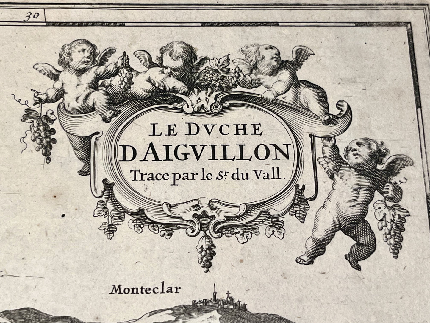
This antique map of Lot-et-Garonne, depicting the Duchy of Aiguillon, dates from the late 17th century and measures 56.5x44cm. It was created by the French cartographer Pierre Duval.
Condition:
Center crease, minimal tears on edges. Please note, my maps are old and are not always in perfect condition!
List of main cities represented:
Aiguillon, Port-Sainte-Marie, Buzet-sur-Baïse, Damazan, Monheurt, Tonneins, Clairac, Castelmoron-sur-Lot, Sainte-Livrade-sur-Lot, Bazens, Clermont-Dessous,...


-

Secure payment
-

Careful shipping
-

No reproduction
-

Satisfied or refunded


-

“Hello, thank you for sending this, the cards are superb!”
Jean-Philippe
-
"They are very beautiful, just need to frame them! Thank you"
Baptiste
-
"Fast shipping and very good tracking."
Alice
-
"My husband loved the maps I gave him for Christmas!"
Solène
