


Antique nautical chart of Mexico
Antique nautical chart of Mexico
Couldn't load pickup availability
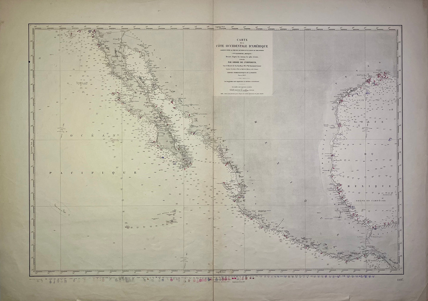
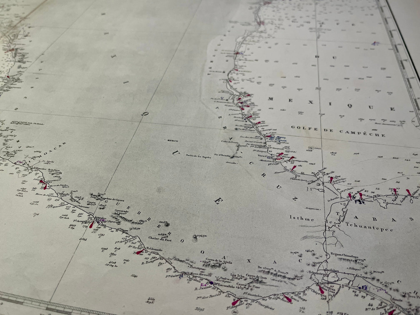
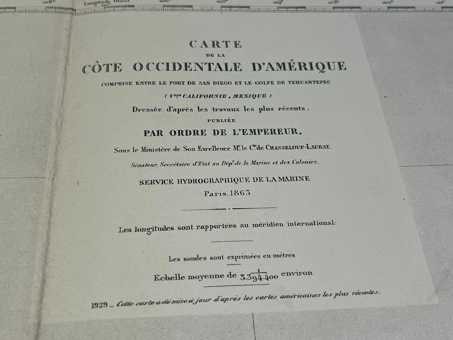
This antique nautical chart of the West Coast of America between the Port of San Diego and the Gulf of Tehuantepec was produced by the Service Hydrographique de la Marine, the ancestor of SHOM. It dates from the middle of the 20th century and its dimensions are 106x75cm.
Condition:
Crease in the center, writing and tears on the edges. Please note, my maps are old and are not always in perfect condition!
-

Secure payment
-

Careful shipping
-

No reproduction
-

Satisfied or refunded


-

“Hello, thank you for sending this, the cards are superb!”
Jean-Philippe
-
"They are very beautiful, just need to frame them! Thank you"
Baptiste
-
"Fast shipping and very good tracking."
Alice
-
"My husband loved the maps I gave him for Christmas!"
Solène
