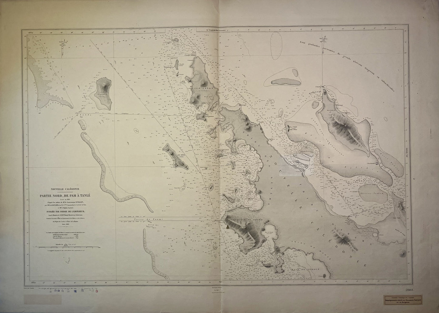
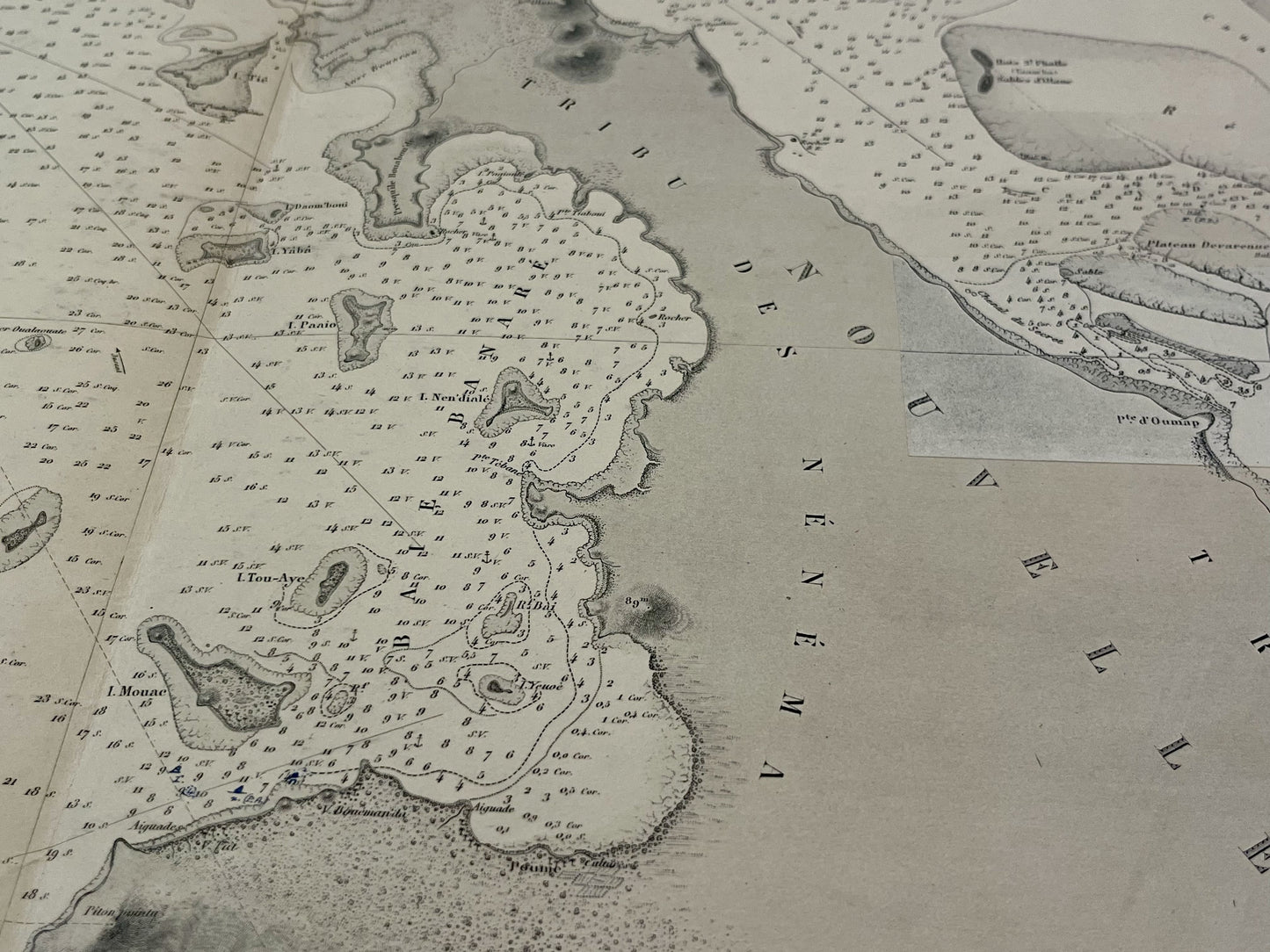
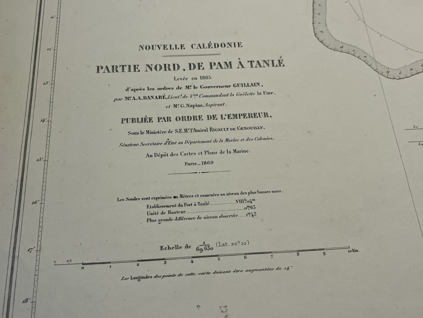
Antique nautical chart of the North of New Caledonia
Antique nautical chart of the North of New Caledonia
Regular price
150,00 €
Regular price
Sale price
150,00 €
Unit price
per
Taxes included.
Couldn't load pickup availability
This antique nautical chart of the North of New Caledonia, from Pam to Tanlé, was produced by the french Dépôt des Cartes et des Plans de la Marine. It dates from the beginning of the 20th century and its dimensions are 105.5x75cm.
Condition:
Center fold, writing and addition. Please note, my maps are old and are not always in perfect condition!


