


Antique nautical chart of Western Bass Strait
Antique nautical chart of Western Bass Strait
Regular price
100,00 €
Regular price
Sale price
100,00 €
Unit price
per
Taxes included.
Couldn't load pickup availability
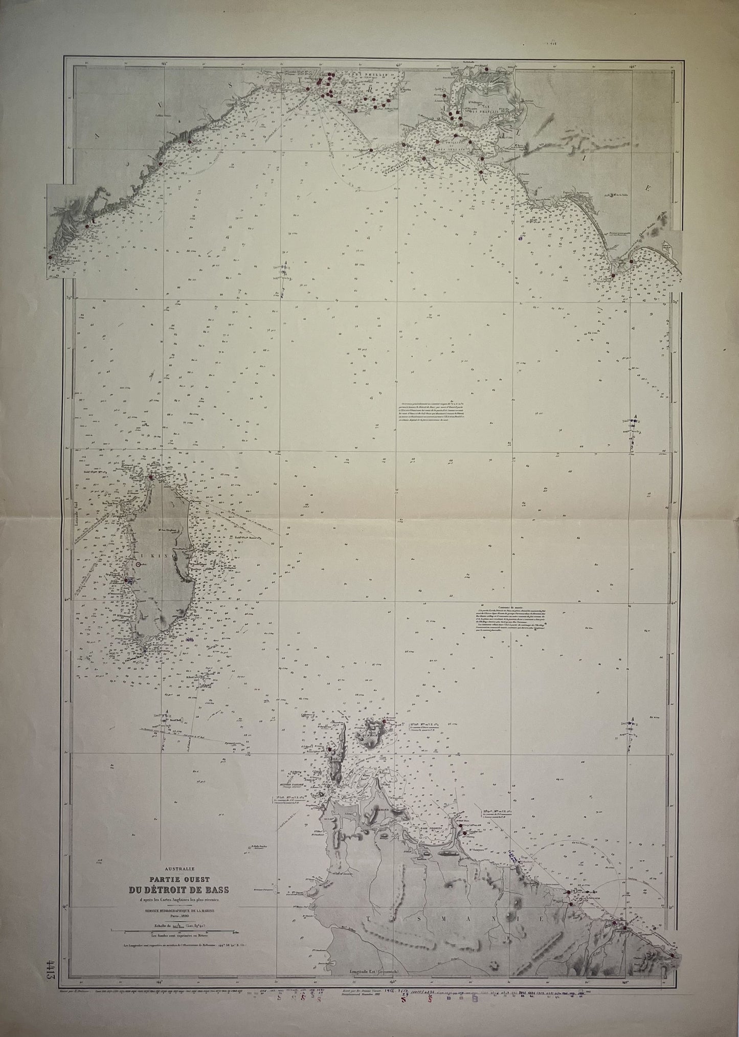
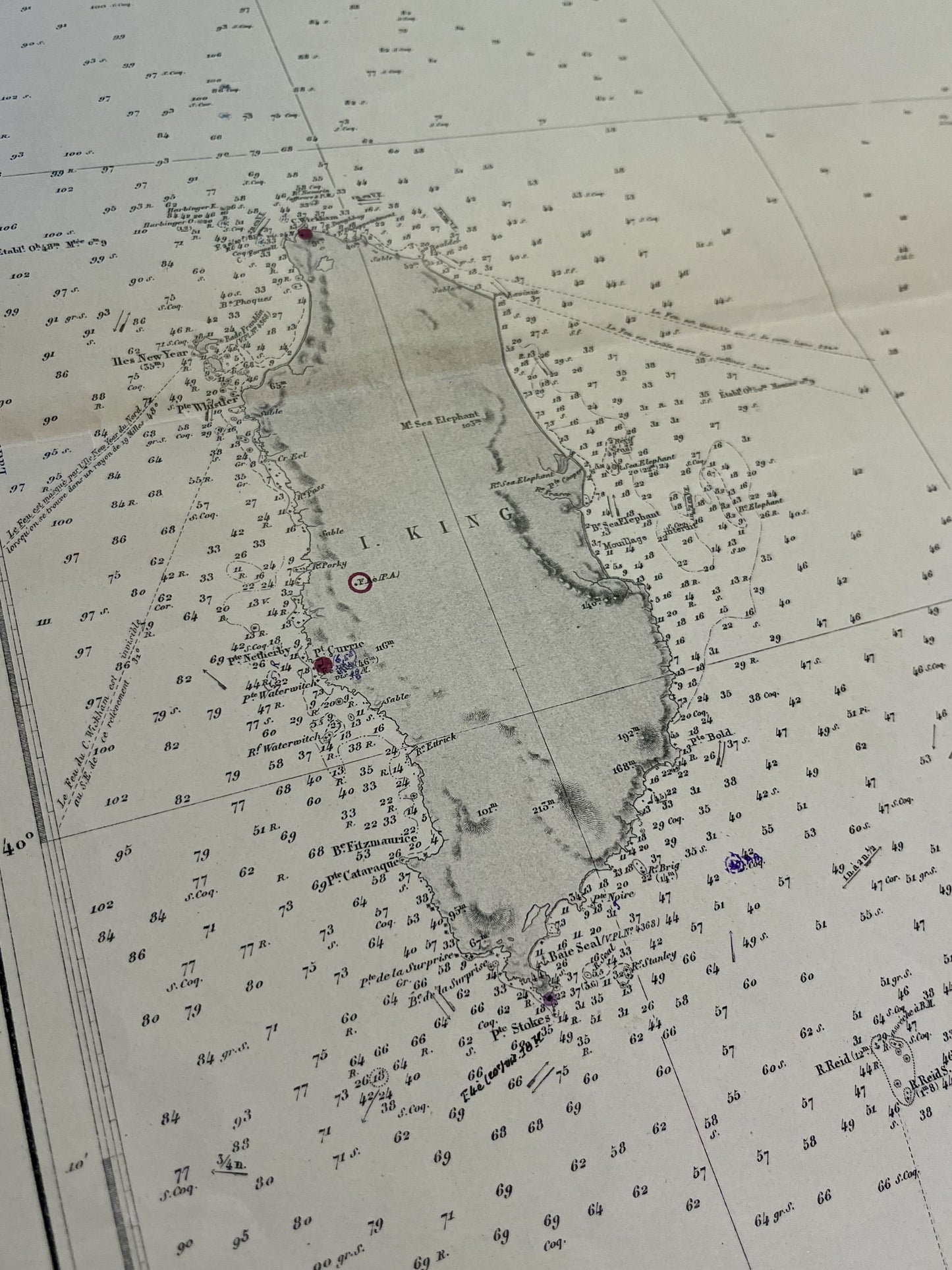
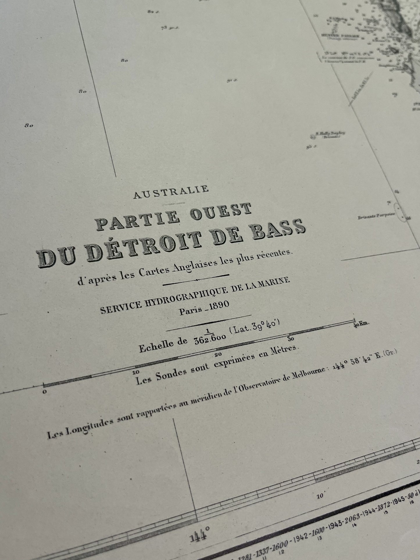
This antique nautical chart of the Western part of Bass Strait was produced by the Service Hydrographique de la Marine, the ancestor of SHOM. It dates from the middle of the 20th century and its dimensions are 106.5x75.5cm.
Condition:
Center fold, writing. Please note, my maps are old and are not always in perfect condition!
-

Secure payment
-

Careful shipping
-

No reproduction
-

Satisfied or refunded


-

“Hello, thank you for sending this, the cards are superb!”
Jean-Philippe
-
"They are very beautiful, just need to frame them! Thank you"
Baptiste
-
"Fast shipping and very good tracking."
Alice
-
"My husband loved the maps I gave him for Christmas!"
Solène
