


Decorative map of South Africa (German edition) - 1970s-80s
Decorative map of South Africa (German edition) - 1970s-80s
Couldn't load pickup availability
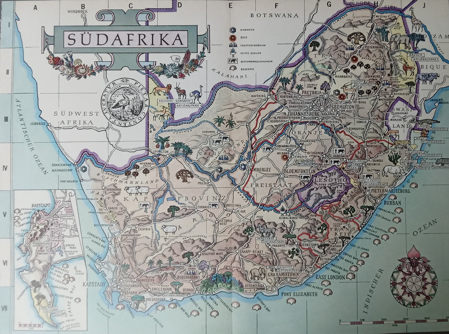
This illustrated map of South Africa (27 x 37 cm), published in German in the 1970s and 1980s, offers a vivid and colorful representation of the territory, highlighting landscapes, iconic wildlife, and major geographical landmarks. Each region—from the Transvaal to the Cape, including Natal and the Orange Free State—is crisscrossed by roads and railways and dotted with typical scenes.
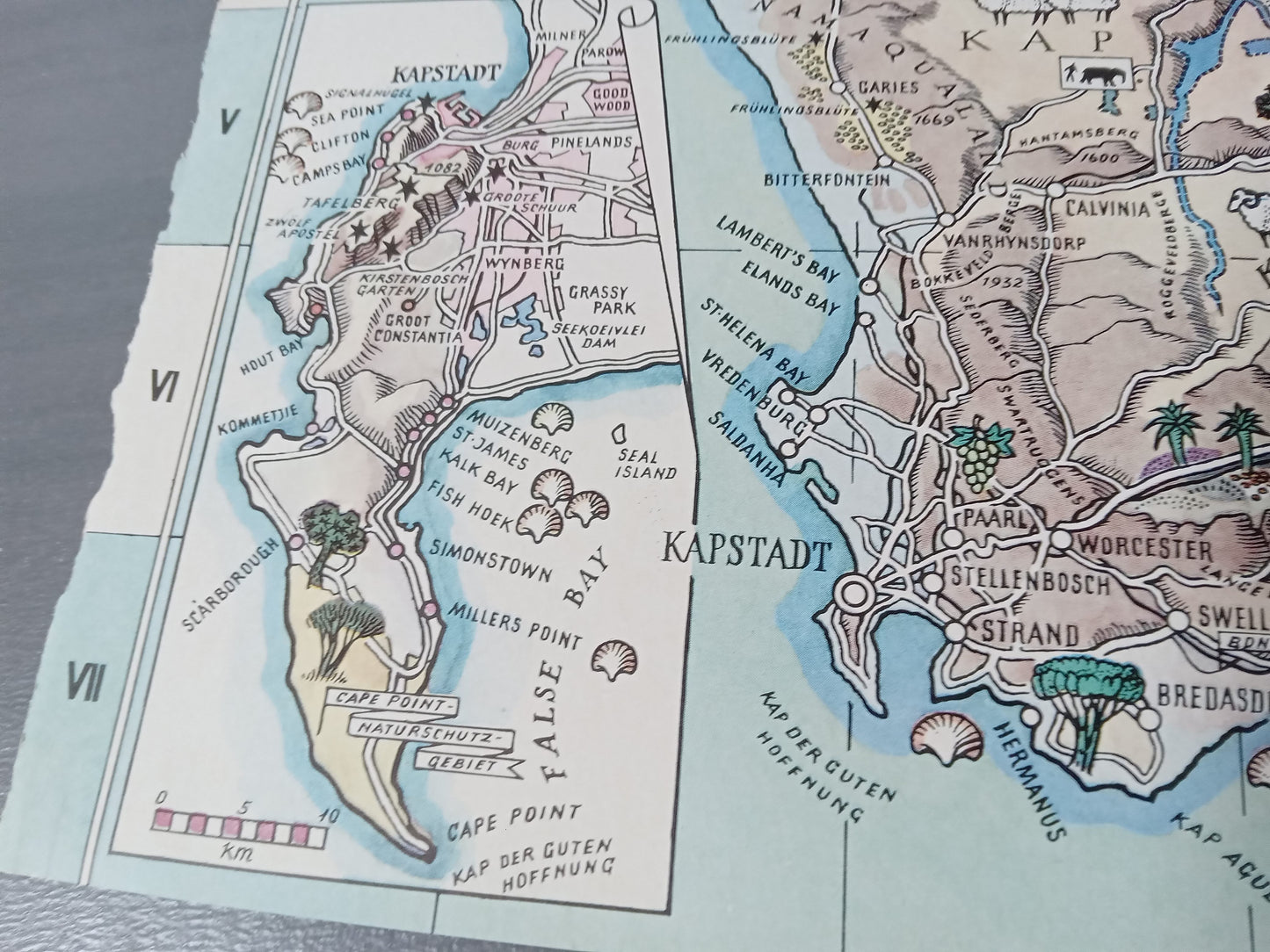
Elephants, giraffes, lions, and cities such as Pretoria, Johannesburg, Durban, and Cape Town are depicted with the graphic care characteristic of the period. A framed view at the bottom left details the Cape Town region and its surroundings.
A map that is both informative and decorative, perfect for fans of retro design or visual geography.
Condition :
Very good condition. Please note, my maps are old and not always in perfect condition!

-

Secure payment
-

Careful shipping
-

No reproduction
-

Satisfied or refunded


-

“Hello, thank you for sending this, the cards are superb!”
Jean-Philippe
-
"They are very beautiful, just need to frame them! Thank you"
Baptiste
-
"Fast shipping and very good tracking."
Alice
-
"My husband loved the maps I gave him for Christmas!"
Solène
