


Air Afrique Route Map: Exploring Africa in the 1970s
Air Afrique Route Map: Exploring Africa in the 1970s
Couldn't load pickup availability
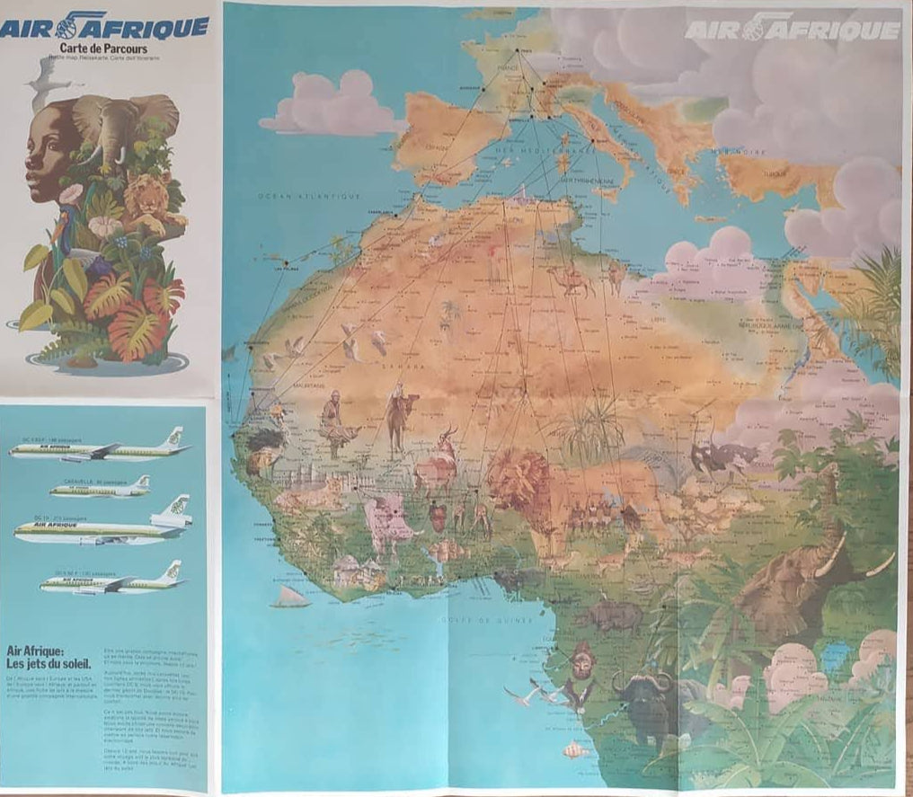
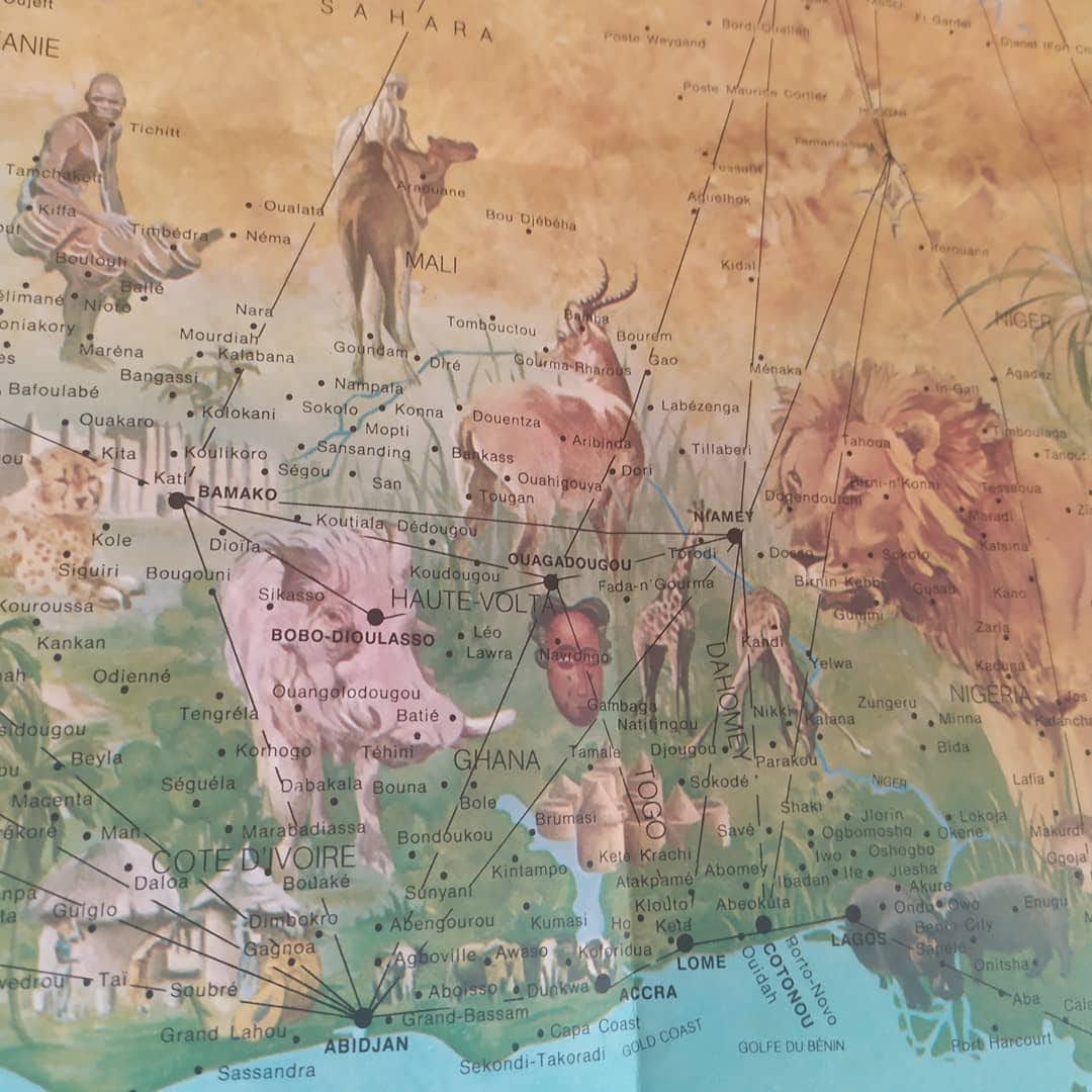
Discover this Air Afrique route map from the 1970s, which offers a detailed and colorful exploration of the African continent. This map highlights Africa's flight routes, varied landscapes, and wildlife. The vivid illustrations and precise annotations make it a valuable tool for travelers and geography enthusiasts. Ideal for those interested in exploring the history of air travel in Africa, this map is a treasure trove for vintage cartography enthusiasts. Dimensions: 50*62 cm.
Condition :
Very good condition. Please note, my maps are old and not always in perfect condition!
Places :
Africa, Morocco, Algeria, Tunisia, Libya, Egypt, Sudan, Chad, Niger, Mali, Mauritania, Senegal, Gambia, Guinea-Bissau, Guinea, Sierra Leone, Liberia, Ivory Coast, Burkina Faso, Ghana, Togo, Benin, Nigeria, Cameroon, Central African Republic, Gabon, Congo, Democratic Republic of Congo, Uganda, Kenya, Tanzania, Rwanda, Burundi, Ethiopia, Eritrea, Djibouti, Somalia, Angola, Zambia, Zimbabwe, Mozambique, Malawi, Botswana, Namibia, South Africa, Lesotho, Swaziland, Madagascar, Comoros, Seychelles, Mauritius, Reunion.


-

Secure payment
-

Careful shipping
-

No reproduction
-

Satisfied or refunded


-

“Hello, thank you for sending this, the cards are superb!”
Jean-Philippe
-
"They are very beautiful, just need to frame them! Thank you"
Baptiste
-
"Fast shipping and very good tracking."
Alice
-
"My husband loved the maps I gave him for Christmas!"
Solène
