


Old map of Naples and its gulf by FE Ciavatti - ca. 1950
Old map of Naples and its gulf by FE Ciavatti - ca. 1950
Couldn't load pickup availability
This magnificent vintage map offers a spectacular bird's-eye view of the city of Naples and its gulf, created by the artist F.E. Ciavatti in 1950. The richly colored artwork stretches from Cumae to Salerno, featuring the islands of Ischia, Capri, and Procida in the foreground. Mount Vesuvius dominates the landscape, depicted with a column of smoke rising from its crater, while the towns of Benevento and Avellino are visible in the background. The drawing accurately captures the coastal and urban topography, including winding roads and major historical sites such as Pompeii. At the bottom of the map, several detailed charts list the rail and sea distances connecting various locations around the bay to the Parthenopean city. Published in Naples, this piece combines pictorial aesthetics with valuable tourist information from its time. The map measures 68 cm by 48 cm.
Condition :
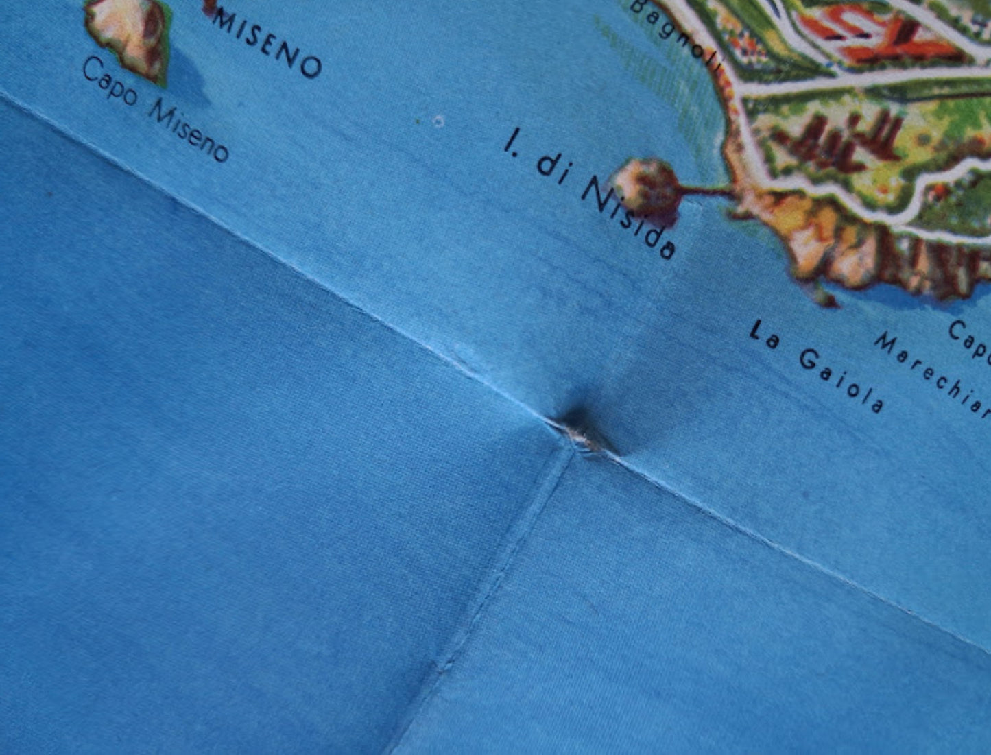
Good condition, some holes are present along certain folds. Please note, my maps are old and are not always in perfect condition!
List of the main locations represented:
Naples (Napoli), Island of Capri, Island of Ischia, Island of Procida, Mount Vesuvius, Pompeii, Sorrento, Salerno, Cuma, Benevento, Avellino, Bay of Naples.


-

Secure payment
-

Careful shipping
-

No reproduction
-

Satisfied or refunded


-

“Hello, thank you for sending this, the cards are superb!”
Jean-Philippe
-
"They are very beautiful, just need to frame them! Thank you"
Baptiste
-
"Fast shipping and very good tracking."
Alice
-
"My husband loved the maps I gave him for Christmas!"
Solène
