


Cassini map of Châlons-en-Champagne and its surroundings
Cassini map of Châlons-en-Champagne and its surroundings
Couldn't load pickup availability
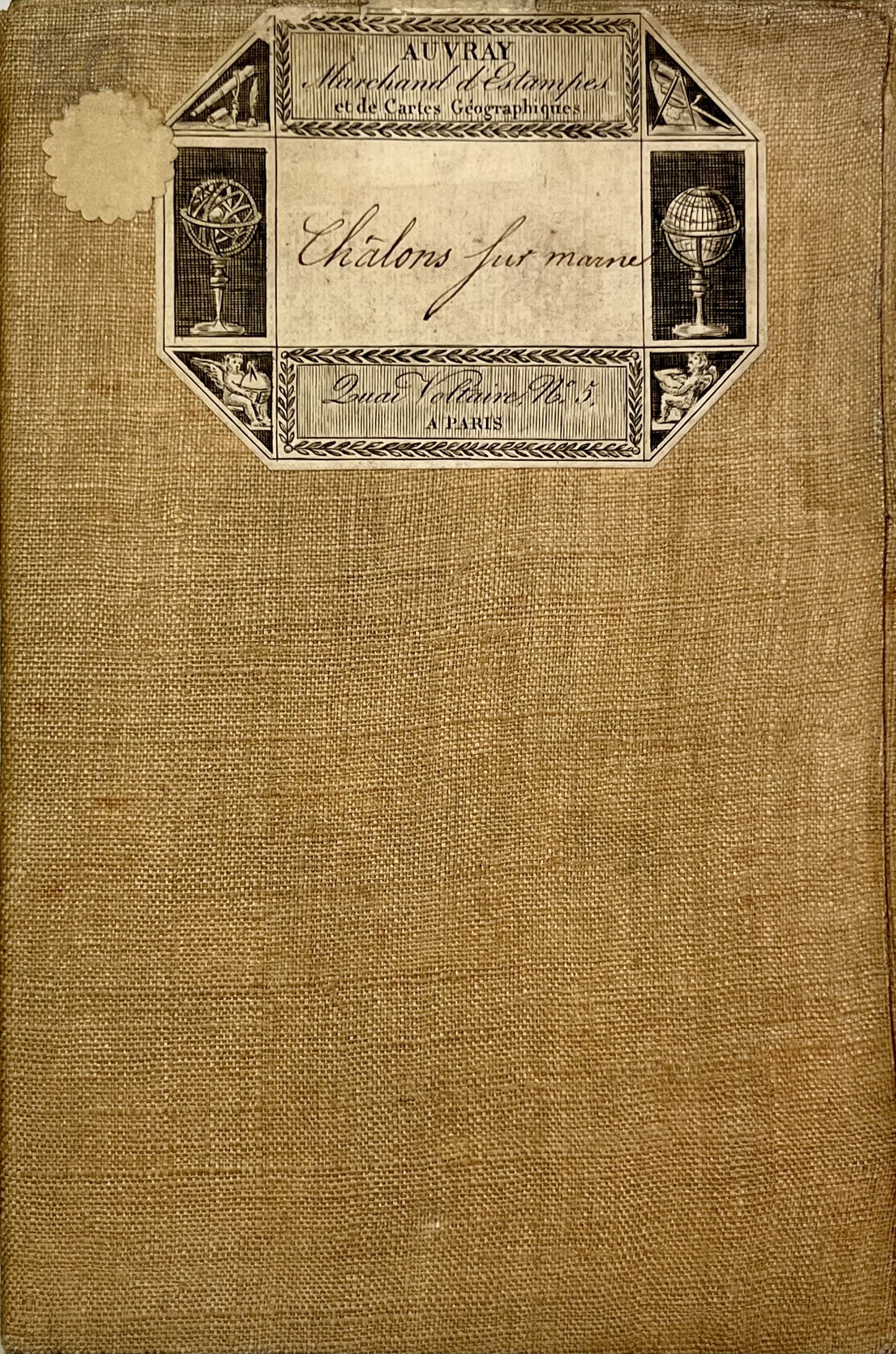
This antique canvas-backed Cassini map entitled "Châlons-sur-Marne" (No. 80) mainly represents the Marne . It was made by the Cassini family in the mid-18th century. Its unfolded dimension is 92x59cm (21 sections). Sketches of colors are visible on water points, cities and forests.
State :
Minimal stains and canvas worn in places. Please note, my cards are old and are not always in perfect condition!
List of cities represented:
Epernay, Avize, Vertus, Chalons-en-Champagne, Heiltz-le-Maurupt, Sermaize-les-Bains, Revigny-sur-Ornain, Saint-Dizier, Vitry-le-François,...


-

“Hello, thank you for sending this, the cards are superb!”
Jean-Philippe
-
"They are very beautiful, just need to frame them! Thank you"
Baptiste
-
"Fast shipping and very good tracking."
Alice
-
"My husband loved the maps I gave him for Christmas!"
Solène

-

Secure payment
-

Careful shipping
-

No reproduction
-

Satisfied or refunded


