

Saint-Saulge Vicinal Service Map
Saint-Saulge Vicinal Service Map
Couldn't load pickup availability
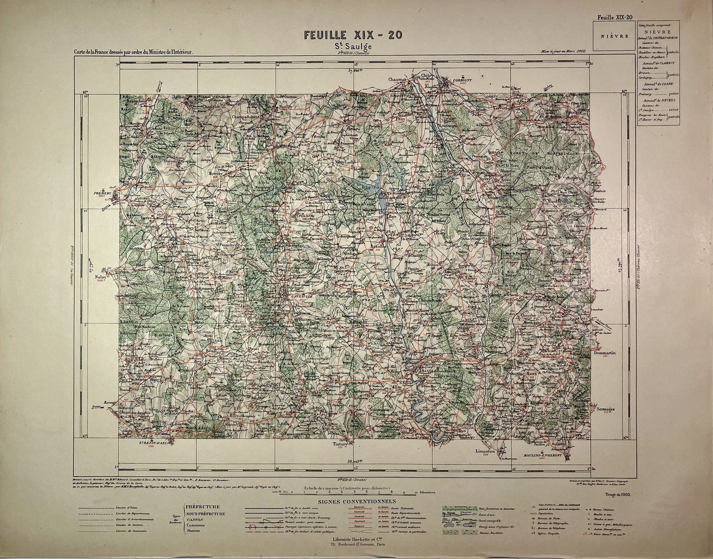
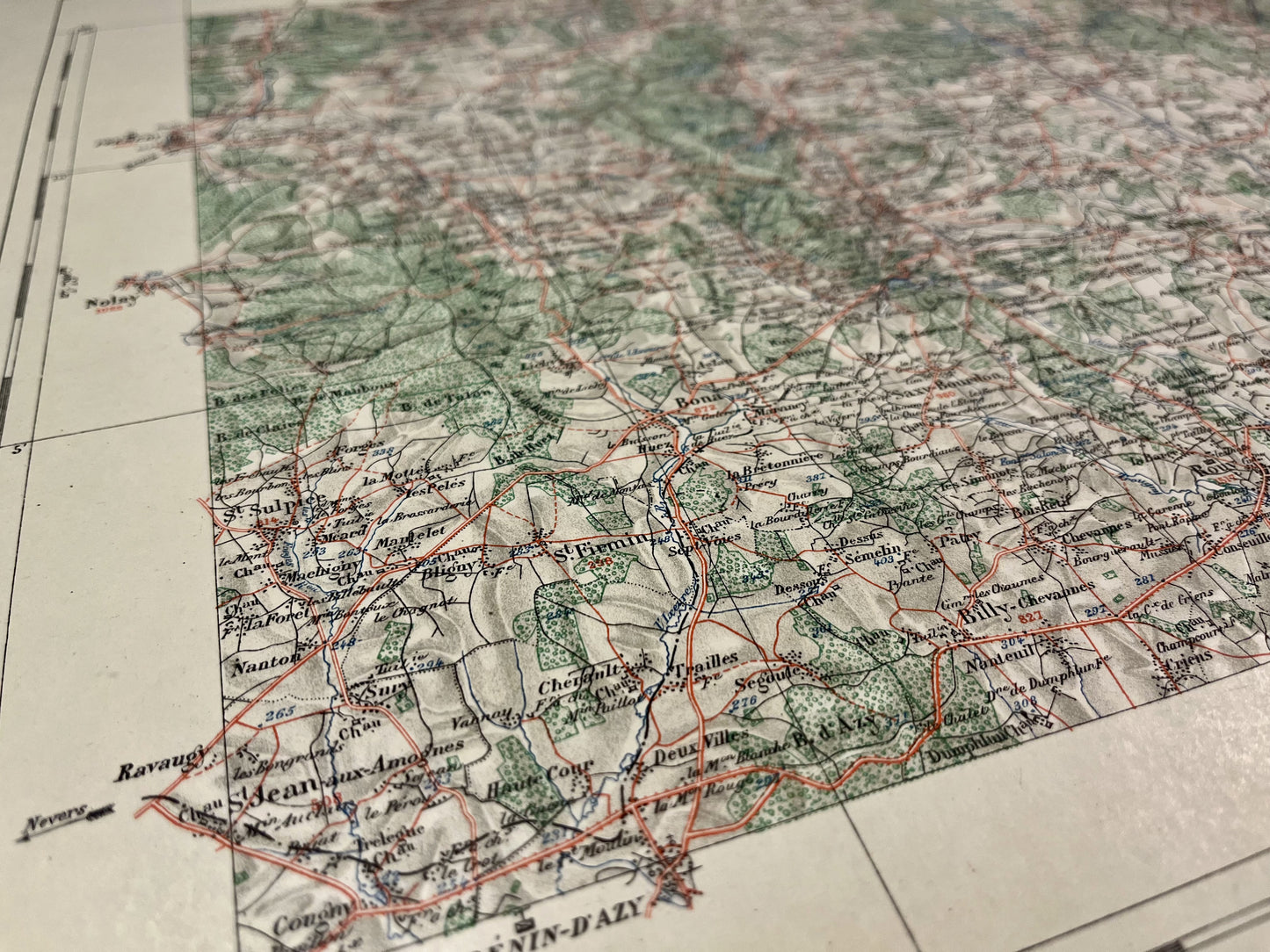
This old map of Nièvre entitled "Saint-Saulge" (XIX-20), was produced by the Ministry of the Interior from the end of the 19th to the beginning of the 20th century. Its dimensions are 57x45cm. To learn more, read my article on the Vicinal Service map .
State :
Very good condition. Please note, my cards are old and are not always in perfect condition!
List of main cities represented:
Prémery, Saint-Bénin-d'Azy, Saint-Saulge, Corbigny, Châtillon-en-Bazois, Moulins-Engilbert,...
-

Secure payment
-

Careful shipping
-

No reproduction
-

Satisfied or refunded


-

“Hello, thank you for sending this, the cards are superb!”
Jean-Philippe
-
"They are very beautiful, just need to frame them! Thank you"
Baptiste
-
"Fast shipping and very good tracking."
Alice
-
"My husband loved the maps I gave him for Christmas!"
Solène
