


Illustrated Map of Abyssinia by the Daily Mail - 1950's
Illustrated Map of Abyssinia by the Daily Mail - 1950's
Couldn't load pickup availability
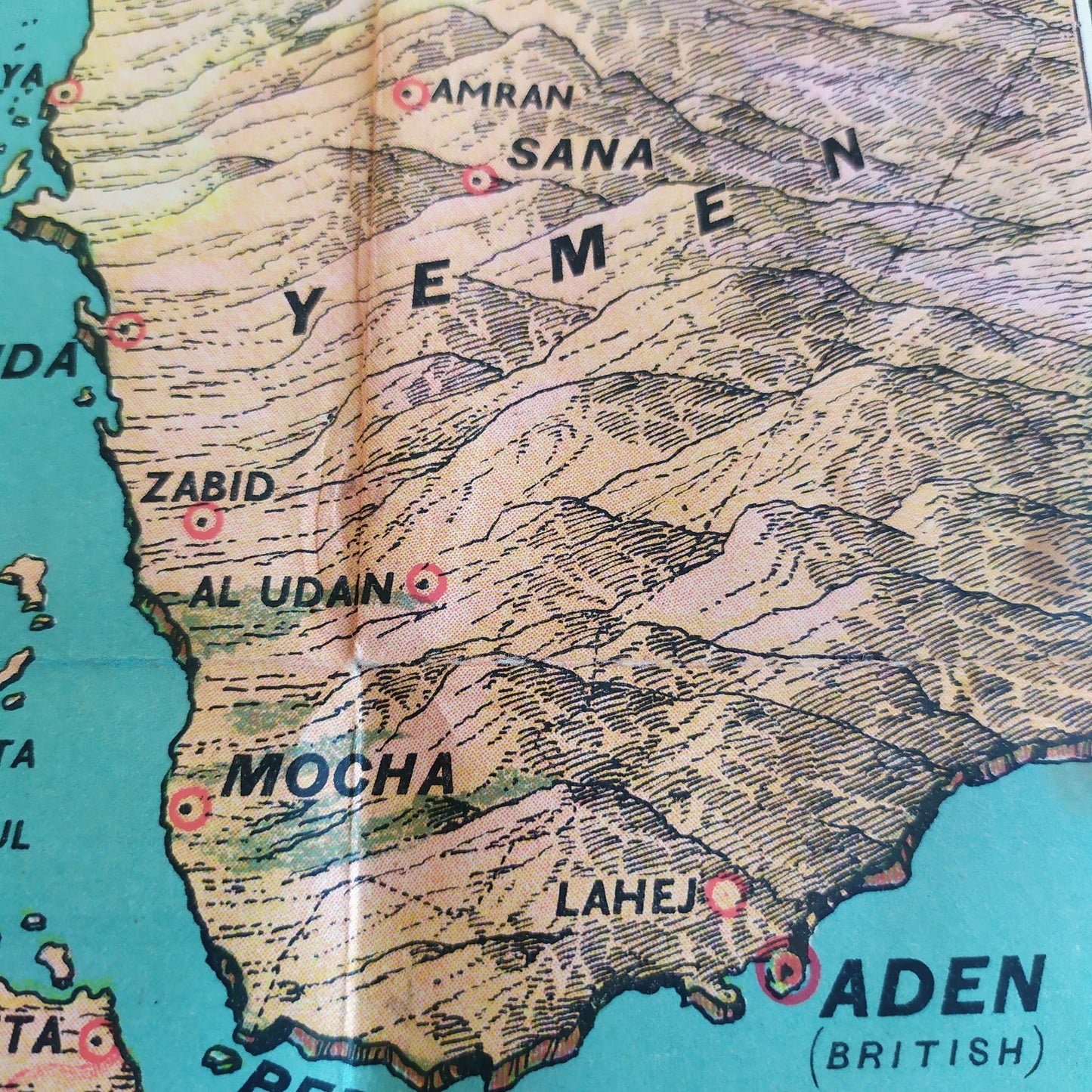
This illustrated map, published by the Daily Mail in the 1950s, offers a detailed representation of Abyssinia, now known as Ethiopia. It highlights the region's geographical features, including mountains, rivers, and major cities. The colors used reflect the diverse natural landscapes, from arid plains to lush green areas. The map also includes contextual information and annotations that provide historical and geographical insights into the region. It is a valuable resource for those interested in the history and geography of Abyssinia. Dimensions: 60 x 61 cm.
Condition :
Good condition. Please note, my maps are old and not always in perfect condition!
List of main places:
Abyssinia, Addis Ababa, Djibouti, Harar, Dire Dawa, Asmara, Massawa, Gondar, Debre Markos, Bahar Dar, Dessie, Jimma, Nekemte, Gambela, Assosa, Mekelle, Axoum, Adoua, Adigrat, Gore, Neghelli, Awassa, Arba Minch, Soddo, Hosanna, Agaro, Nekemte, Gimbi, Bonga, Tepi, Mizan Teferi, Omorate, Jinka, Turmi, Konso, Yabelo, Negele Boran, Shashamane, Awash, Afar, Oromia, Somali, Benishangul-Gumuz, Gambela, Sidama, Amhara, Tigray, Afar Triangle, Red Sea, Gulf of Aden, Somalia, Somaliland, Eritrea, Sudan, Kenya, Uganda, Tanzania, Djibouti.


-

Secure payment
-

Careful shipping
-

No reproduction
-

Satisfied or refunded


-

“Hello, thank you for sending this, the cards are superb!”
Jean-Philippe
-
"They are very beautiful, just need to frame them! Thank you"
Baptiste
-
"Fast shipping and very good tracking."
Alice
-
"My husband loved the maps I gave him for Christmas!"
Solène
